Transport Functions
Multimodal
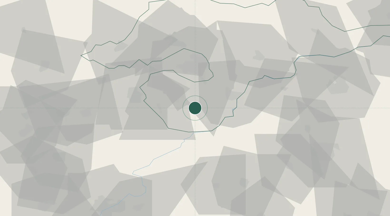
Hub Profile
Place type
Populated place
Region
Borsod-Abaúj-Zemplén
Time zone
Europe/Budapest
Elevation
94 m
Location
Nearby Logistics Neighbours
Cities
- 1Hejokurt17 km
- 2Tiszafüred24 km
- 3Polgar25 km
- 4Bocs26 km
- 5Alsozsolca27 km
Ports
- 1Senj551 km
- 2Bakar554 km
- 3Omisalj558 km
- 4Rijeka Luka559 km
- 5Dugi Rat584 km
Airports
Trade Zones
- 1Customs Free Zone Zahony120 km
- 2Göd Special Economic Zone122 km
- 3Transcarpathian Special Economic Zone (Zakarpattia)142 km
- 4Free Zone Curtici Arad169 km
- 5VGP Park Arad188 km
DatabookThe Record of Consolidated Knowledge
Hungary beyond logistics?