Transport Functions
Rail
Road
Hub Profile
Place type
Regional capital
Region
Komárom-Esztergom
Population
65,849
Time zone
Europe/Budapest
Elevation
132 m
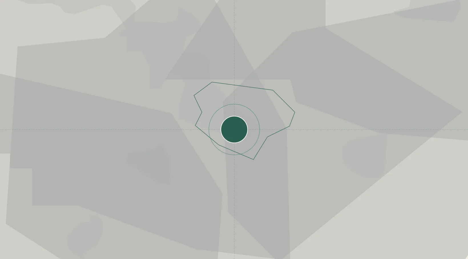
Location
Nearby Logistics Neighbours
Ports
- 1Bakar390 km
- 2Rijeka Luka393 km
- 3Senj394 km
- 4Omisalj395 km
- 5Zaliv Rasa436 km
Airports
- 1Tököl Airport47 km
- 2Győr-Pér Airport48 km
- 3Budapest Liszt Ferenc International Airport64 km
- 4M. R. Štefánik Airport114 km
- 5Kalocsa-Foktő Airfield118 km
Trade Zones
- 1Göd Special Economic Zone57 km
- 2Veselí nad Moravou Industrial Zone175 km
- 3Subotica Free Zone188 km
- 4Holešov Industrial Zone208 km
- 5Sjever Free Zone212 km
DatabookThe Record of Consolidated Knowledge
Hungary beyond logistics?