Transport Functions
Rail
Road
Multimodal
Hub Profile
Place type
Provincial seat
Region
Komárom-Esztergom
Population
20,271
Time zone
Europe/Budapest
Elevation
182 m
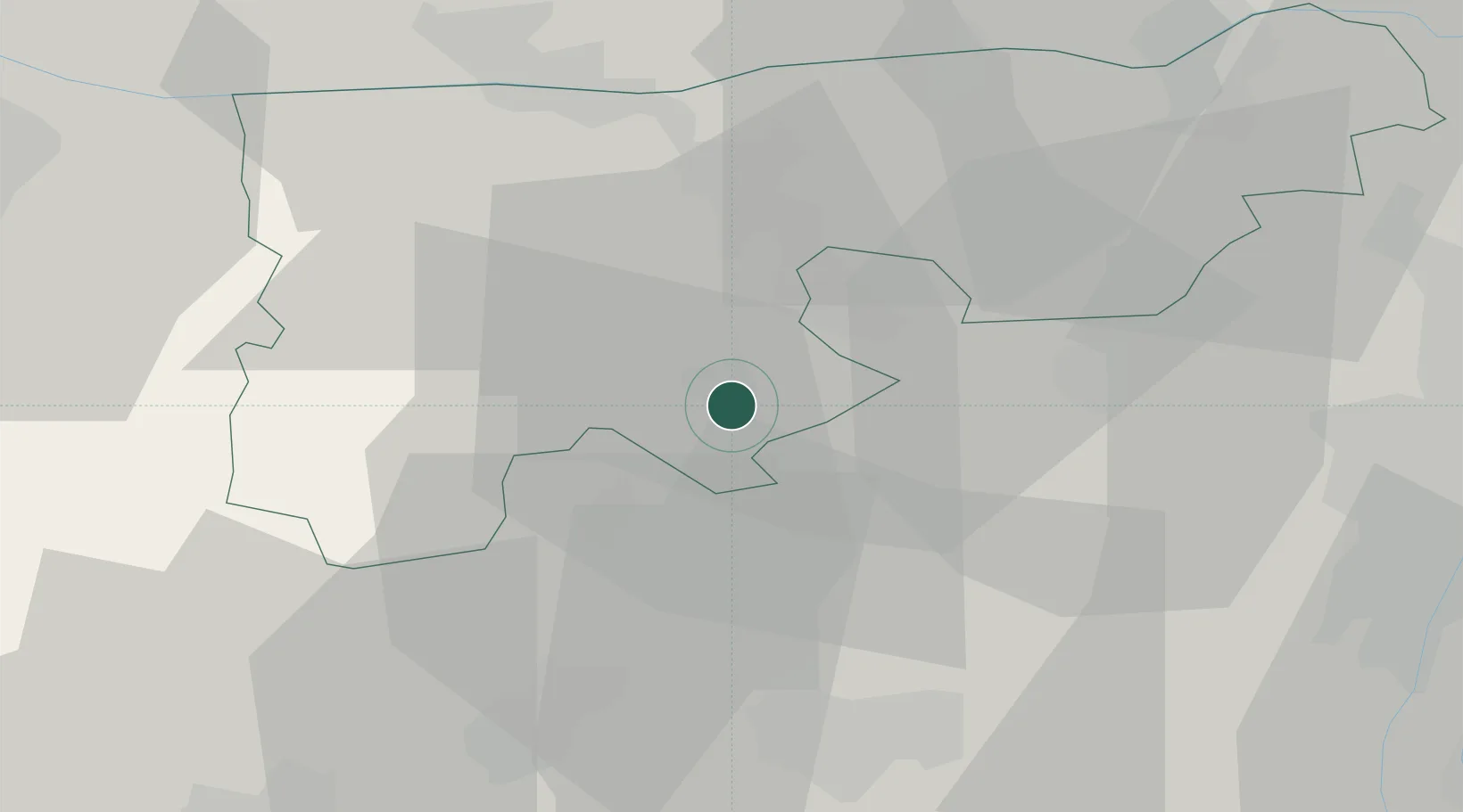
Location
Nearby Logistics Neighbours
Ports
- 1Bakar378 km
- 2Rijeka Luka382 km
- 3Senj383 km
- 4Omisalj384 km
- 5Zaliv Rasa424 km
Airports
- 1Győr-Pér Airport42 km
- 2Tököl Airport52 km
- 3Budapest Liszt Ferenc International Airport71 km
- 4M. R. Štefánik Airport112 km
- 5Kalocsa-Foktő Airfield114 km
Trade Zones
- 1Göd Special Economic Zone67 km
- 2Veselí nad Moravou Industrial Zone178 km
- 3Subotica Free Zone186 km
- 4Sjever Free Zone200 km
- 5Apatin Free Zone207 km
DatabookThe Record of Consolidated Knowledge
Hungary beyond logistics?