Transport Functions
Road
Multimodal
Hub Profile
Place type
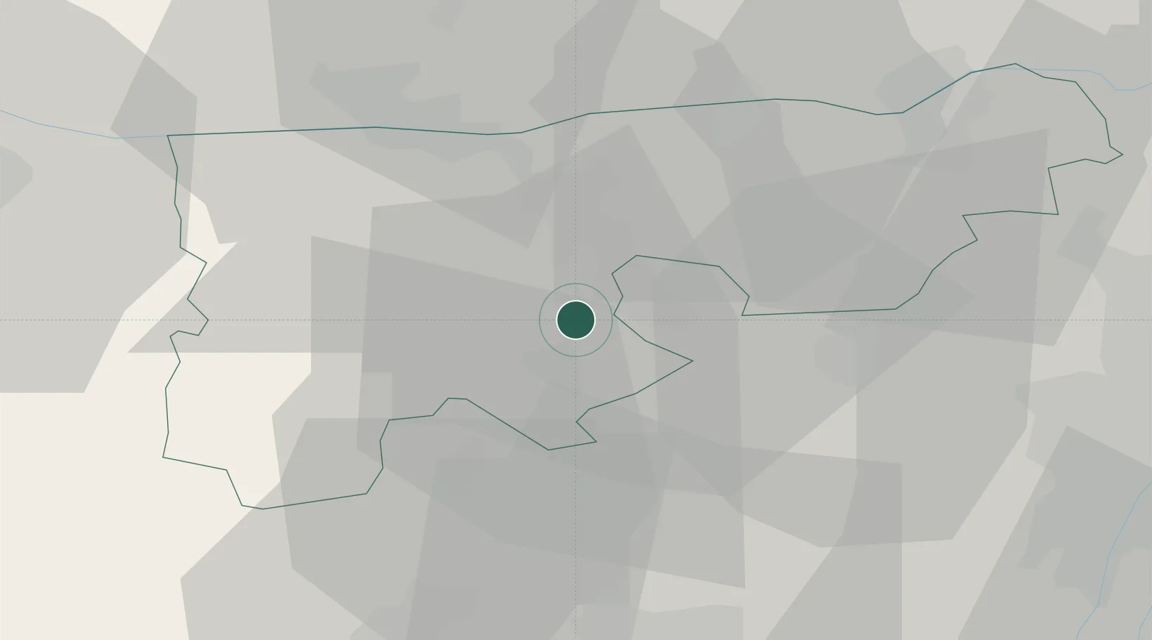
Populated place
Region
Komárom-Esztergom
Population
4,359
Time zone
Europe/Budapest
Elevation
164 m
Location
Nearby Logistics Neighbours
Cities
- 1Tatabánya8 km
- 2Oroszlány8 km
- 3Mocsa17 km
- 4Almásfüzitó17 km
- 5Neszmély19 km
Ports
- 1Bakar384 km
- 2Rijeka Luka387 km
- 3Senj389 km
- 4Omisalj389 km
- 5Zaliv Rasa430 km
Airports
- 1Győr-Pér Airport41 km
- 2Tököl Airport54 km
- 3Budapest Liszt Ferenc International Airport71 km
- 4M. R. Štefánik Airport108 km
- 5Kalocsa-Foktő Airfield120 km
Trade Zones
- 1Göd Special Economic Zone64 km
- 2Veselí nad Moravou Industrial Zone172 km
- 3Subotica Free Zone191 km
- 4Holešov Industrial Zone206 km
- 5Sjever Free Zone206 km
DatabookThe Record of Consolidated Knowledge
Hungary beyond logistics?