Transport Functions
Multimodal
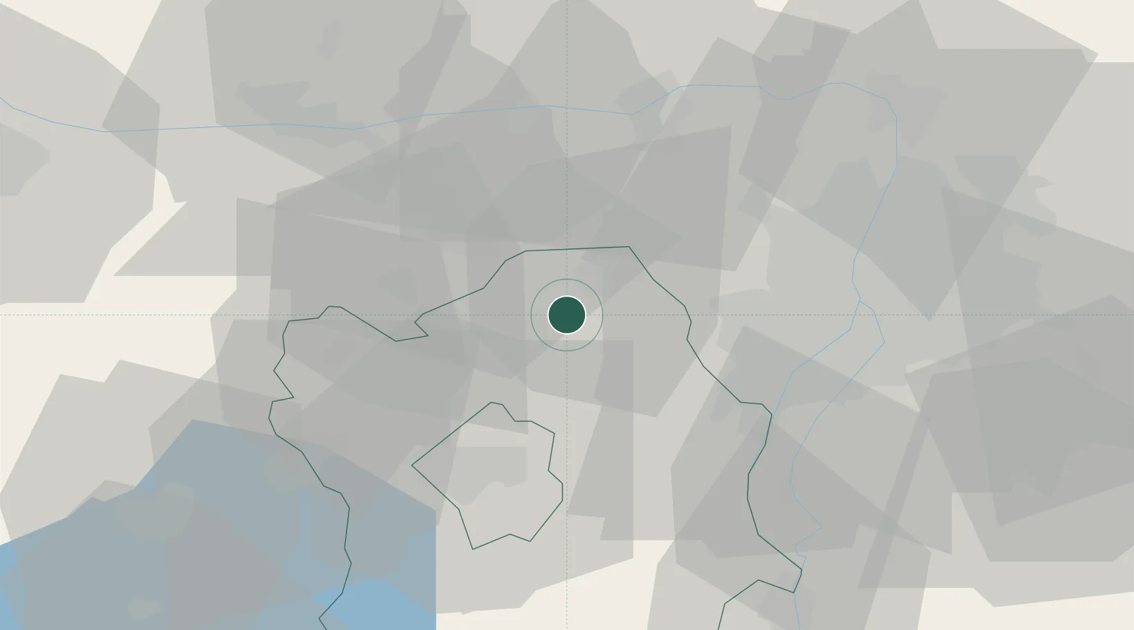
Hub Profile
Place type
Populated place
Region
Fejér
Time zone
Europe/Budapest
Elevation
155 m
Location
Nearby Logistics Neighbours
Cities
- 1Bicske4 km
- 2Tatabánya16 km
- 3Tok17 km
- 4Biatorbágy18 km
- 5Oroszlány20 km
Ports
- 1Bakar392 km
- 2Senj394 km
- 3Rijeka Luka396 km
- 4Omisalj397 km
- 5Zaliv Rasa438 km
Airports
- 1Tököl Airport32 km
- 2Budapest Liszt Ferenc International Airport51 km
- 3Győr-Pér Airport62 km
- 4Kalocsa-Foktő Airfield104 km
- 5Kecskemét Air Base106 km
Trade Zones
- 1Göd Special Economic Zone51 km
- 2Subotica Free Zone172 km
- 3Veselí nad Moravou Industrial Zone190 km
- 4Apatin Free Zone199 km
- 5Sjever Free Zone214 km
DatabookThe Record of Consolidated Knowledge
Hungary beyond logistics?