Transport Functions
Rail
Road
Hub Profile
Place type
Provincial seat
Region
Fejér
Population
11,072
Time zone
Europe/Budapest
Elevation
164 m
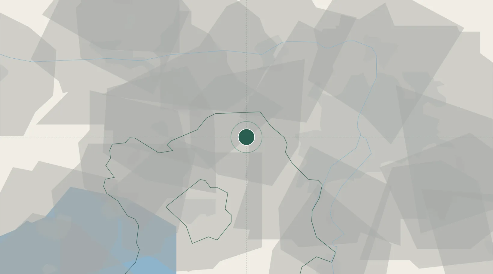
Location
Nearby Logistics Neighbours
Cities
- 1Felcsut4 km
- 2Tok13 km
- 3Biatorbágy14 km
- 4Tatabánya18 km
- 5Martonvásár22 km
Ports
- 1Bakar396 km
- 2Senj398 km
- 3Rijeka Luka400 km
- 4Omisalj401 km
- 5Zaliv Rasa442 km
Airports
- 1Tököl Airport29 km
- 2Budapest Liszt Ferenc International Airport48 km
- 3Győr-Pér Airport65 km
- 4Kecskemét Air Base104 km
- 5Kalocsa-Foktő Airfield104 km
Trade Zones
- 1Göd Special Economic Zone47 km
- 2Subotica Free Zone172 km
- 3Veselí nad Moravou Industrial Zone190 km
- 4Apatin Free Zone200 km
- 5Sjever Free Zone218 km
DatabookThe Record of Consolidated Knowledge
Hungary beyond logistics?