Transport Functions
Multimodal
Hub Profile
Place type
Provincial seat
Region
Pest County
Population
62,408
Time zone
Europe/Budapest
Elevation
150 m
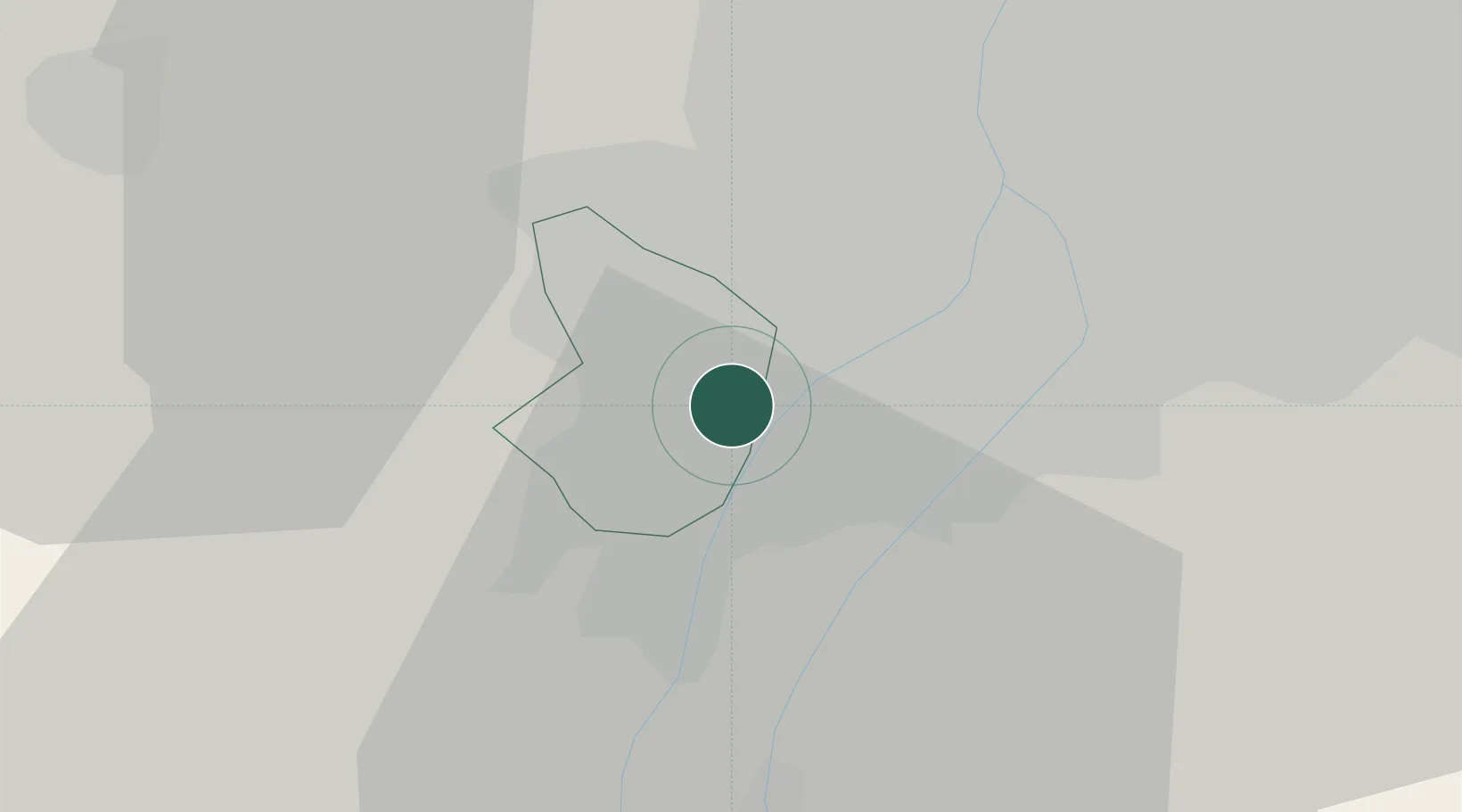
Location
Nearby Logistics Neighbours
Cities
- 1Százhalombatta4 km
- 2Halásztelek4 km
- 3Szigetszentmiklós7 km
- 4Budaörs9 km
- 5Csepel12 km
Ports
- 1Senj408 km
- 2Bakar409 km
- 3Rijeka Luka413 km
- 4Omisalj413 km
- 5Zaliv Rasa454 km
Airports
- 1Tököl Airport4 km
- 2Budapest Liszt Ferenc International Airport26 km
- 3Kecskemét Air Base79 km
- 4Győr-Pér Airport90 km
- 5Kalocsa-Foktő Airfield91 km
Trade Zones
- 1Göd Special Economic Zone39 km
- 2Subotica Free Zone153 km
- 3Apatin Free Zone188 km
- 4Veselí nad Moravou Industrial Zone211 km
- 5Free Zone Curtici Arad211 km
DatabookThe Record of Consolidated Knowledge
Hungary beyond logistics?