Transport Functions
Rail
Road
Hub Profile
Place type
Provincial seat
Region
Baranya
Population
11,267
Time zone
Europe/Budapest
Elevation
113 m
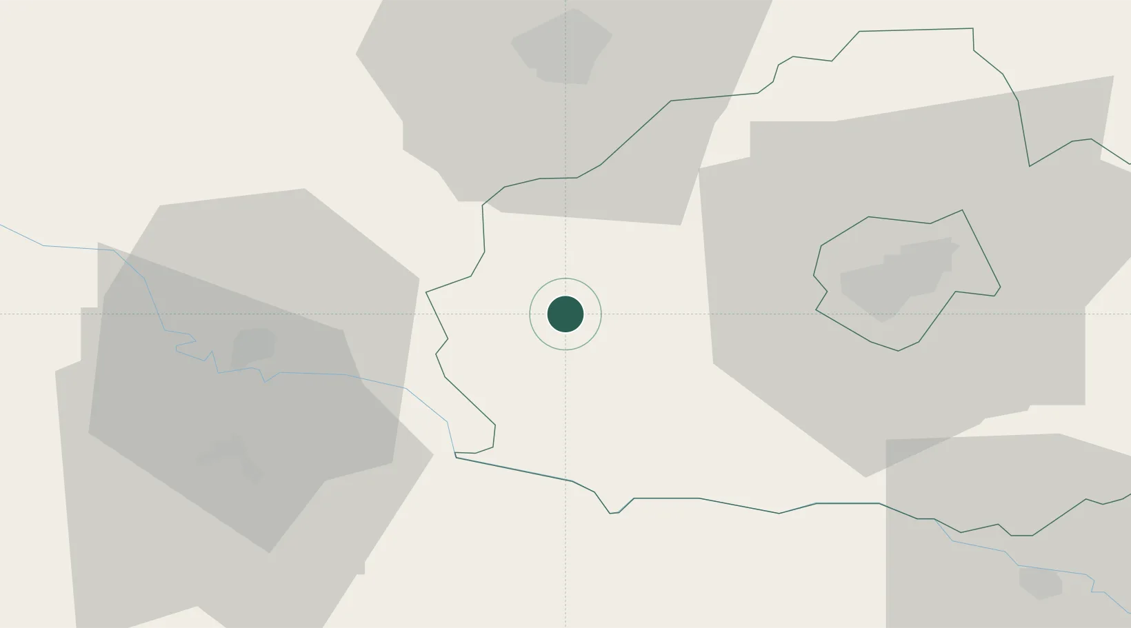
Location
Nearby Logistics Neighbours
Cities
- 1Botykapeterd6 km
- 2Szentlorinc14 km
- 3Barcs29 km
- 4Santos36 km
- 5Virovitica40 km
Ports
- 1Senj254 km
- 2Bakar267 km
- 3Omisalj269 km
- 4Rijeka Luka273 km
- 5Zadar294 km
Airports
- 1Pécs-Pogány International Airport35 km
- 2Taszár Air Base41 km
- 3Hévíz–Balaton Airport88 km
- 4Osijek Airport101 km
- 5Kalocsa-Foktő Airfield105 km
Trade Zones
- 1Osijek Free Zone94 km
- 2Duro Daković Free Zone97 km
- 3Apatin Free Zone99 km
- 4Sjever Free Zone116 km
- 5Podunavska Gospodarska Zona Vukovar121 km
DatabookThe Record of Consolidated Knowledge
Hungary beyond logistics?