Channel & Berth Profile
Pilotage, Tugs & Services
Pilotage compulsoryYES
Pilotage availableYES
Tug assistanceYES
Salvage tugsYES
Potable waterYES
MedicalYES
Garbage disposalYES
Facilities & Capabilities
Container—
Ro-Ro—
Liquid bulk—
Dry bulk—
Oil terminal—
Break bulk—
Dry dockNO
RepairsNO
BunkeringNO
Rail linkYES
Dangerous cargo—
ISPS security—
Harbour Specifications
Harbour size
Small
Harbour type
Coastal (Natural)
Shelter
Good
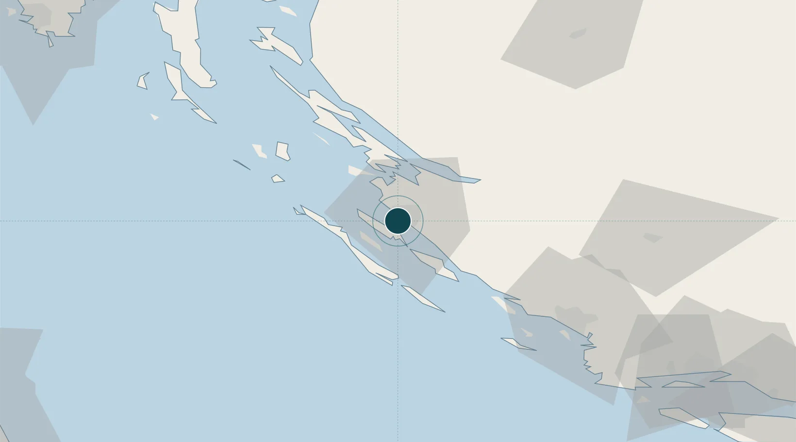
Water body
Adriatic Sea; Mediterranean Sea; North Atlantic Ocean
Tidal range
1 m
Overhead limit
No
Pilotage
Yes
Liner Connectivity
9.7
PLSCI
Port Liner Shipping Connectivity Index for Zadar, as published by UNCTAD for the latest available quarter. Higher values indicate stronger scheduled liner-shipping integration.
Shown relative to the highest per-port PLSCI in the dataset (1,657.9).
Location
Nearby Logistics Neighbours
Airports
- 1Zadar Airport11 km
- 2Udbina Airfield66 km
- 3Split Saint Jerome Airport108 km
- 4Rijeka Airport133 km
- 5Pula Airport134 km
Trade Zones
- 1Port of Split Free Zone118 km
- 2Split-Dalmatia Free Zone120 km
- 3Port of Pula Free Zone138 km
- 4Port of Rijeka Free Zone142 km
- 5Free Zone Kukuljanovo147 km
DatabookThe Record of Consolidated Knowledge
Croatia beyond logistics?