Transport Functions
Multimodal
Hub Profile
Place type
Provincial seat
Region
Somogy County
Population
12,116
Time zone
Europe/Budapest
Elevation
107 m
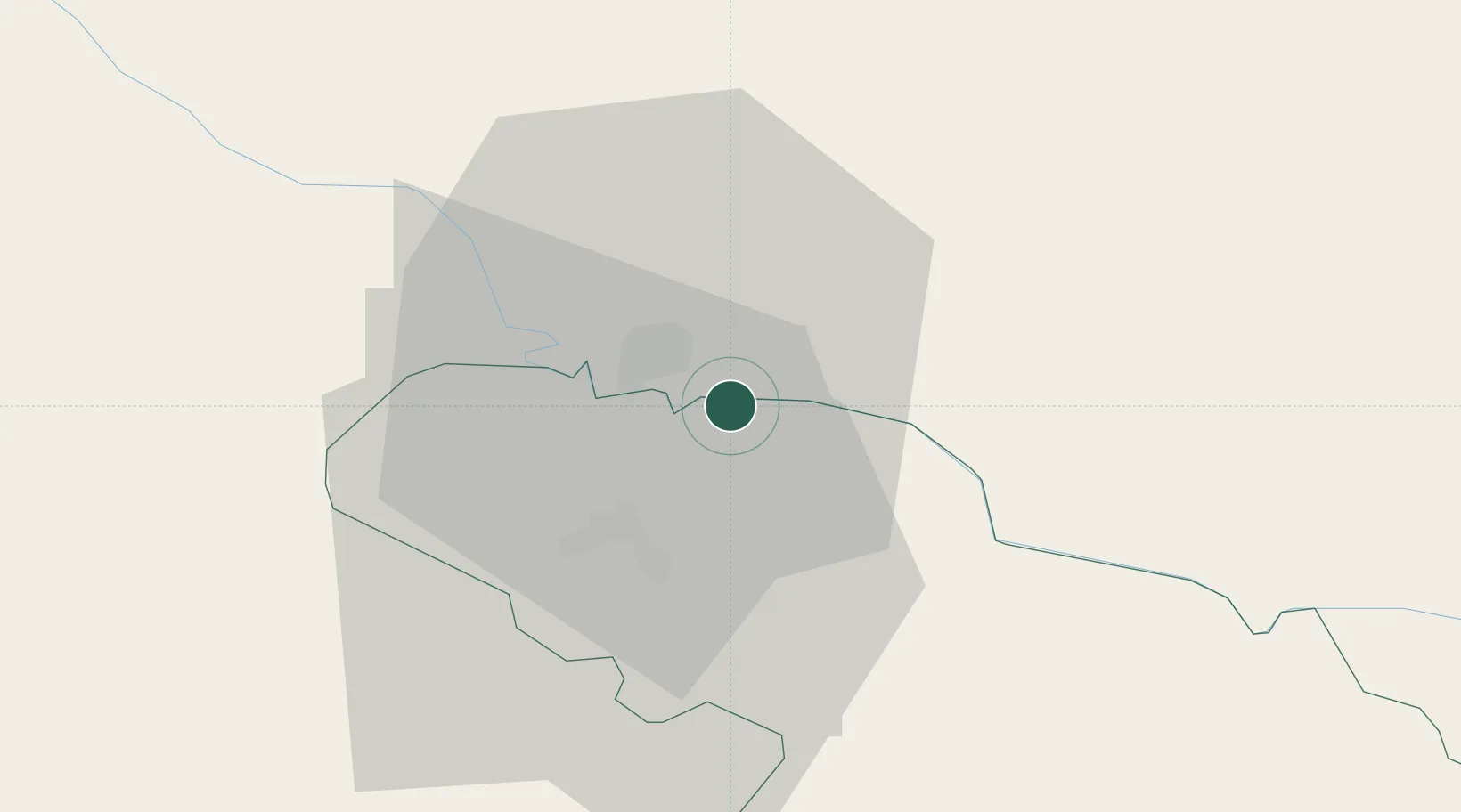
Location
Nearby Logistics Neighbours
Cities
- 1Virovitica16 km
- 2Turnasica21 km
- 3Szigetvár29 km
- 4Botykapeterd34 km
- 5Berzence36 km
Ports
- 1Senj226 km
- 2Bakar238 km
- 3Omisalj240 km
- 4Rijeka Luka244 km
- 5Zadar269 km
Airports
Trade Zones
- 1Sjever Free Zone94 km
- 2Duro Daković Free Zone97 km
- 3Osijek Free Zone105 km
- 4Apatin Free Zone121 km
- 5PJ Free Zone Zagreb123 km
DatabookThe Record of Consolidated Knowledge
Hungary beyond logistics?