Transport Functions
Multimodal
Hub Profile
Place type
Provincial seat
Region
Baranya
Population
7,123
Time zone
Europe/Budapest
Elevation
119 m
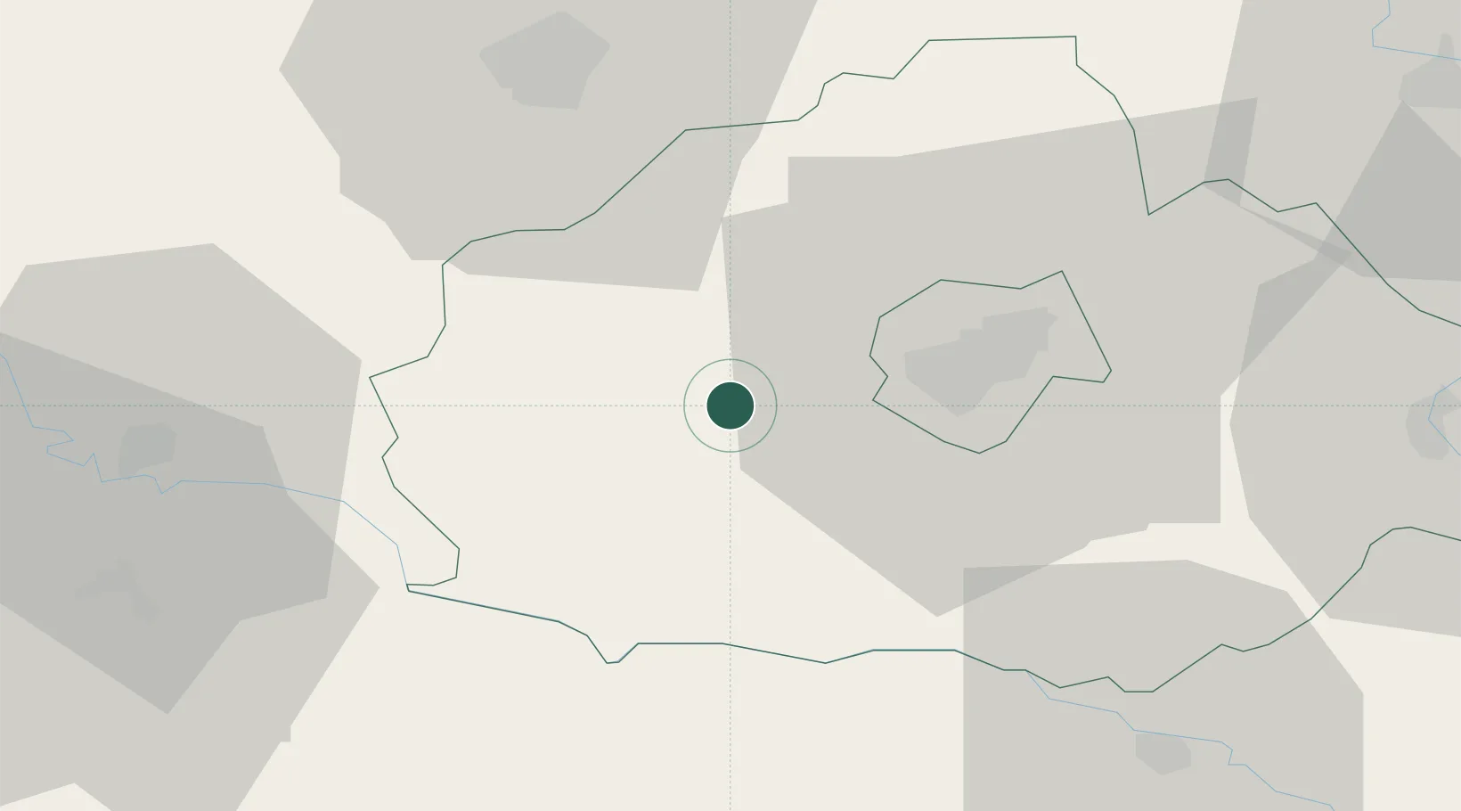
Location
Nearby Logistics Neighbours
Cities
- 1Botykapeterd9 km
- 2Szigetvár14 km
- 3Birjan30 km
- 4Olasz34 km
- 5Santos36 km
Ports
- 1Senj267 km
- 2Bakar280 km
- 3Omisalj282 km
- 4Rijeka Luka287 km
- 5Zadar304 km
Airports
- 1Pécs-Pogány International Airport21 km
- 2Taszár Air Base40 km
- 3Osijek Airport90 km
- 4Kalocsa-Foktő Airfield94 km
- 5Hévíz–Balaton Airport96 km
Trade Zones
- 1Apatin Free Zone86 km
- 2Osijek Free Zone87 km
- 3Duro Daković Free Zone96 km
- 4Podunavska Gospodarska Zona Vukovar110 km
- 5Subotica Free Zone128 km
DatabookThe Record of Consolidated Knowledge
Hungary beyond logistics?