Transport Functions
Multimodal
Hub Profile
Place type
Populated place
Region
Baranya
Time zone
Europe/Budapest
Elevation
119 m
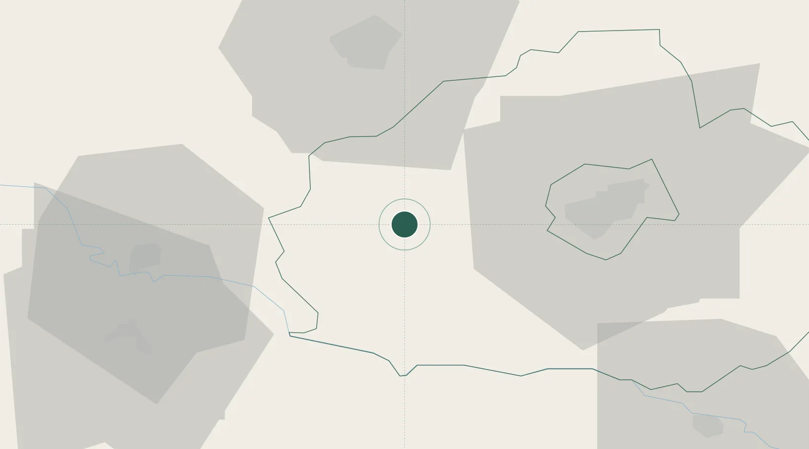
Location
Nearby Logistics Neighbours
Cities
- 1Szigetvár6 km
- 2Szentlorinc9 km
- 3Santos33 km
- 4Barcs34 km
- 5Birjan39 km
Ports
- 1Senj260 km
- 2Bakar272 km
- 3Omisalj274 km
- 4Rijeka Luka278 km
- 5Zadar299 km
Airports
- 1Pécs-Pogány International Airport30 km
- 2Taszár Air Base38 km
- 3Hévíz–Balaton Airport89 km
- 4Osijek Airport98 km
- 5Kalocsa-Foktő Airfield100 km
Trade Zones
- 1Osijek Free Zone93 km
- 2Apatin Free Zone95 km
- 3Duro Daković Free Zone99 km
- 4Podunavska Gospodarska Zona Vukovar118 km
- 5Sjever Free Zone121 km
DatabookThe Record of Consolidated Knowledge
Hungary beyond logistics?