Transport Functions
Rail
Road
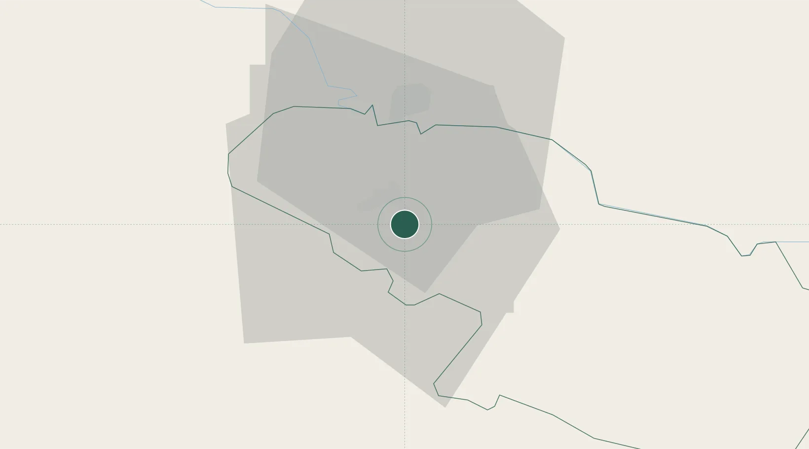
Hub Profile
Place type
Regional capital
Region
Virovitica-Podravina
Population
13,486
Time zone
Europe/Zagreb
Elevation
117 m
Location
Nearby Logistics Neighbours
Ports
- 1Senj215 km
- 2Bakar229 km
- 3Omisalj231 km
- 4Rijeka Luka236 km
- 5Zadar255 km
Airports
Trade Zones
- 1Duro Daković Free Zone87 km
- 2Sjever Free Zone96 km
- 3Osijek Free Zone100 km
- 4PJ Free Zone Zagreb117 km
- 5Krapina-Zagorje Free Zone122 km
DatabookThe Record of Consolidated Knowledge
Croatia beyond logistics?