Transport Functions
Multimodal
Hub Profile
Place type
Populated place
Region
Somogy County
Time zone
Europe/Budapest
Elevation
142 m
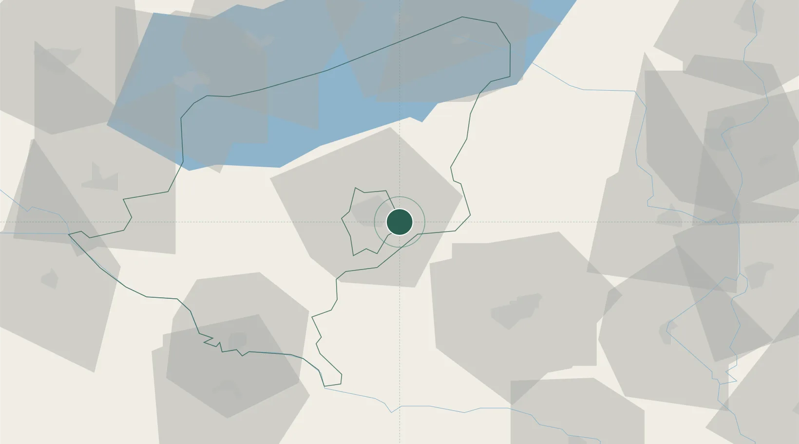
Location
Nearby Logistics Neighbours
Cities
- 1Dombóvár19 km
- 2Botykapeterd33 km
- 3Szigetvár36 km
- 4Szentlorinc36 km
- 5Mecseknádasd47 km
Ports
- 1Senj277 km
- 2Bakar285 km
- 3Omisalj288 km
- 4Rijeka Luka290 km
- 5Zadar324 km
Airports
- 1Taszár Air Base6 km
- 2Pécs-Pogány International Airport49 km
- 3Hévíz–Balaton Airport67 km
- 4Kalocsa-Foktő Airfield84 km
- 5Osijek Airport122 km
Trade Zones
- 1Apatin Free Zone112 km
- 2Sjever Free Zone119 km
- 3Osijek Free Zone123 km
- 4Duro Daković Free Zone132 km
- 5Subotica Free Zone138 km
DatabookThe Record of Consolidated Knowledge
Hungary beyond logistics?