Transport Functions
Rail
Road
Hub Profile
Place type
Populated place
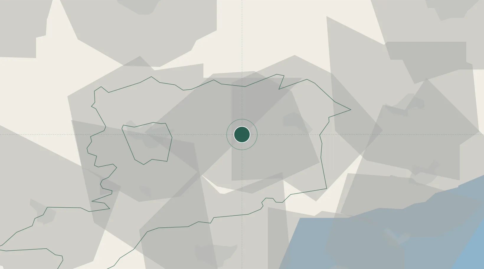
Region
Vas County
Population
15,343
Time zone
Europe/Budapest
Elevation
158 m
Location
Nearby Logistics Neighbours
Cities
- 1Csesztreg11 km
- 2Hegyfalu12 km
- 3Vasszécseny15 km
- 4Celldömölk16 km
- 5Jánosháza23 km
Ports
- 1Bakar285 km
- 2Rijeka Luka287 km
- 3Omisalj291 km
- 4Senj297 km
- 5Trieste302 km
Airports
- 1Hévíz–Balaton Airport65 km
- 2Győr-Pér Airport78 km
- 3Wiener Neustadt East Airport83 km
- 4Wiener Neustadt West Airport84 km
- 5Vienna International Airport100 km
Trade Zones
- 1Sjever Free Zone116 km
- 2Krapina-Zagorje Free Zone146 km
- 3Göd Special Economic Zone175 km
- 4PJ Free Zone Zagreb180 km
- 5Veselí nad Moravou Industrial Zone192 km
DatabookThe Record of Consolidated Knowledge
Hungary beyond logistics?