Transport Functions
Rail
Road
Hub Profile
Place type
Provincial seat
Region
Vas County
Population
11,421
Time zone
Europe/Budapest
Elevation
136 m
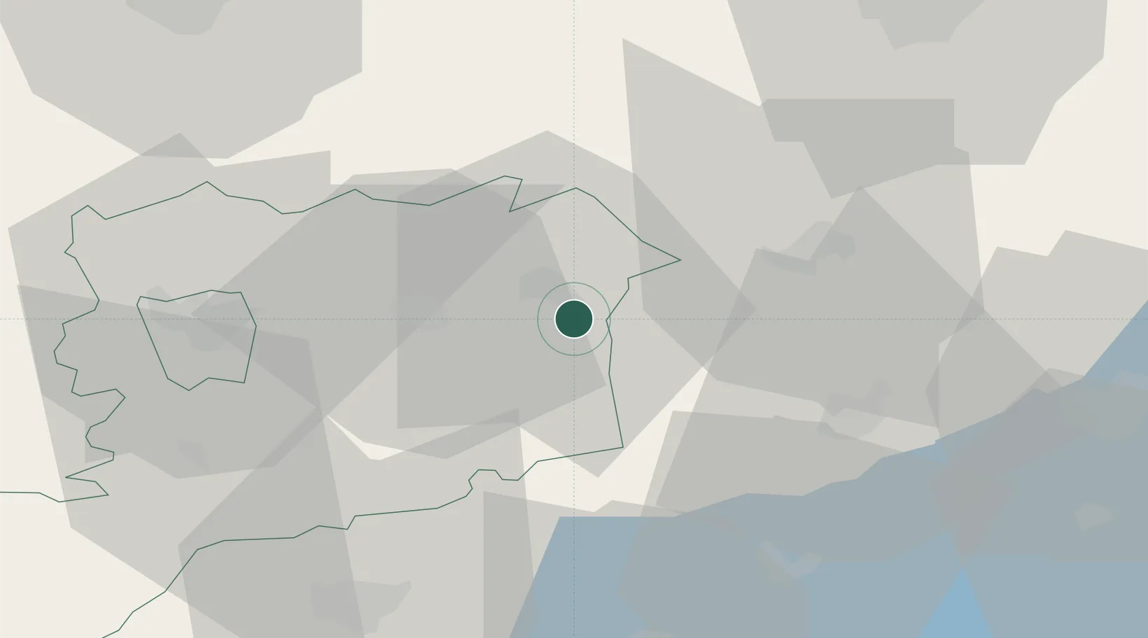
Location
Nearby Logistics Neighbours
Cities
- 1Jánosháza15 km
- 2Mihályháza15 km
- 3Sárvár16 km
- 4Hegyfalu23 km
- 5Csesztreg23 km
Ports
- 1Bakar296 km
- 2Rijeka Luka298 km
- 3Omisalj302 km
- 4Senj306 km
- 5Trieste316 km
Airports
- 1Hévíz–Balaton Airport63 km
- 2Győr-Pér Airport65 km
- 3Wiener Neustadt East Airport94 km
- 4Wiener Neustadt West Airport96 km
- 5M. R. Štefánik Airport102 km
Trade Zones
- 1Sjever Free Zone123 km
- 2Krapina-Zagorje Free Zone156 km
- 3Göd Special Economic Zone159 km
- 4PJ Free Zone Zagreb188 km
- 5Veselí nad Moravou Industrial Zone190 km
DatabookThe Record of Consolidated Knowledge
Hungary beyond logistics?