Transport Functions
Rail
Road
Hub Profile
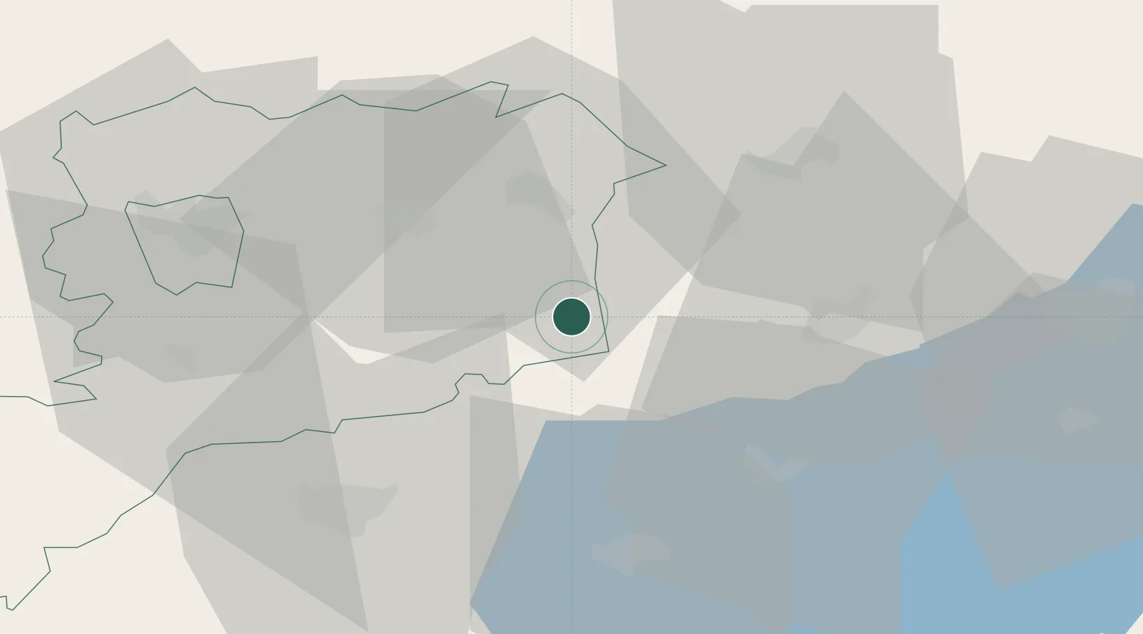
Place type
Populated place
Region
Vas County
Population
2,754
Time zone
Europe/Budapest
Elevation
148 m
Location
Nearby Logistics Neighbours
Cities
- 1Gógánfa11 km
- 2Celldömölk15 km
- 3Sárvár23 km
- 4Csesztreg23 km
- 5Mihályháza24 km
Ports
- 1Bakar286 km
- 2Rijeka Luka289 km
- 3Omisalj292 km
- 4Senj295 km
- 5Trieste309 km
Airports
- 1Hévíz–Balaton Airport48 km
- 2Győr-Pér Airport75 km
- 3Taszár Air Base99 km
- 4Wiener Neustadt East Airport106 km
- 5Wiener Neustadt West Airport107 km
Trade Zones
- 1Sjever Free Zone111 km
- 2Krapina-Zagorje Free Zone146 km
- 3Göd Special Economic Zone163 km
- 4PJ Free Zone Zagreb177 km
- 5Veselí nad Moravou Industrial Zone205 km
DatabookThe Record of Consolidated Knowledge
Hungary beyond logistics?