Transport Functions
Multimodal
Hub Profile
Place type
Populated place
Region
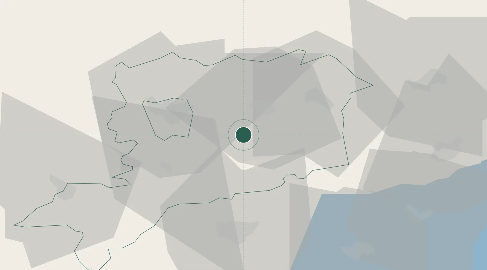
Zala County
Time zone
Europe/Budapest
Elevation
182 m
Location
Nearby Logistics Neighbours
Cities
- 1Vasszécseny8 km
- 2Sárvár11 km
- 3Vasvár14 km
- 4Hegyfalu20 km
- 5Celldömölk23 km
Ports
- 1Bakar274 km
- 2Rijeka Luka277 km
- 3Omisalj281 km
- 4Senj286 km
- 5Trieste293 km
Airports
- 1Hévíz–Balaton Airport58 km
- 2Győr-Pér Airport87 km
- 3Wiener Neustadt East Airport88 km
- 4Wiener Neustadt West Airport89 km
- 5Vienna International Airport107 km
Trade Zones
- 1Sjever Free Zone105 km
- 2Krapina-Zagorje Free Zone136 km
- 3PJ Free Zone Zagreb170 km
- 4Göd Special Economic Zone182 km
- 5Veselí nad Moravou Industrial Zone202 km
DatabookThe Record of Consolidated Knowledge
Hungary beyond logistics?