Transport Functions
Rail
Road
Hub Profile
Place type
Populated place
Region
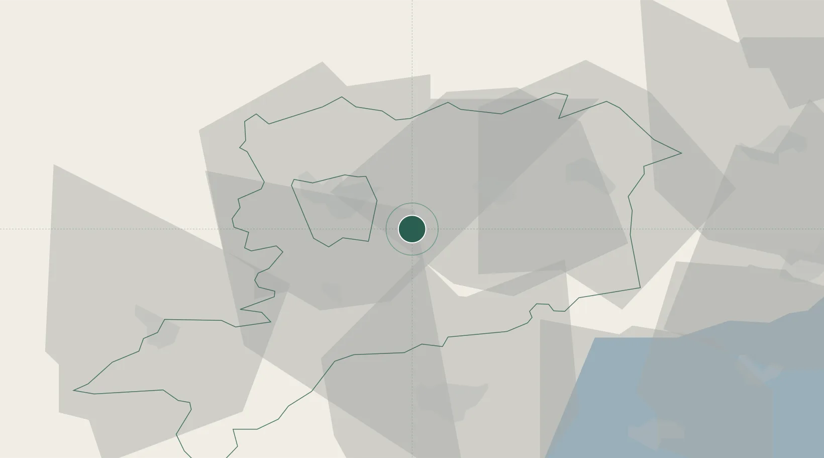
Vas County
Time zone
Europe/Budapest
Elevation
182 m
Location
Nearby Logistics Neighbours
Ports
- 1Bakar271 km
- 2Rijeka Luka273 km
- 3Omisalj277 km
- 4Senj284 km
- 5Trieste288 km
Airports
- 1Hévíz–Balaton Airport63 km
- 2Wiener Neustadt East Airport83 km
- 3Wiener Neustadt West Airport83 km
- 4Győr-Pér Airport93 km
- 5Graz Airport103 km
Trade Zones
- 1Sjever Free Zone105 km
- 2Krapina-Zagorje Free Zone133 km
- 3PJ Free Zone Zagreb168 km
- 4Göd Special Economic Zone189 km
- 5Veselí nad Moravou Industrial Zone202 km
DatabookThe Record of Consolidated Knowledge
Hungary beyond logistics?