Transport Functions
Rail
Road
Hub Profile
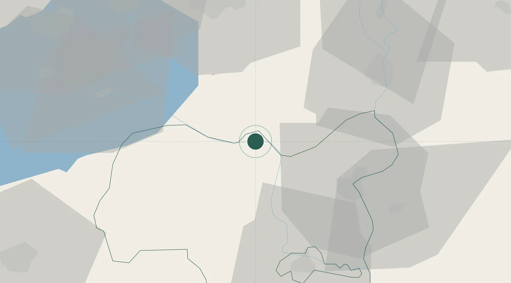
Place type
Populated place
Region
Tolna County
Population
4,536
Time zone
Europe/Budapest
Elevation
96 m
Location
Nearby Logistics Neighbours
Ports
- 1Senj344 km
- 2Bakar350 km
- 3Omisalj353 km
- 4Rijeka Luka355 km
- 5Zadar392 km
Airports
Trade Zones
- 1Subotica Free Zone112 km
- 2Göd Special Economic Zone113 km
- 3Apatin Free Zone123 km
- 4Osijek Free Zone159 km
- 5Podunavska Gospodarska Zona Vukovar160 km
DatabookThe Record of Consolidated Knowledge
Hungary beyond logistics?