Transport Functions
Multimodal
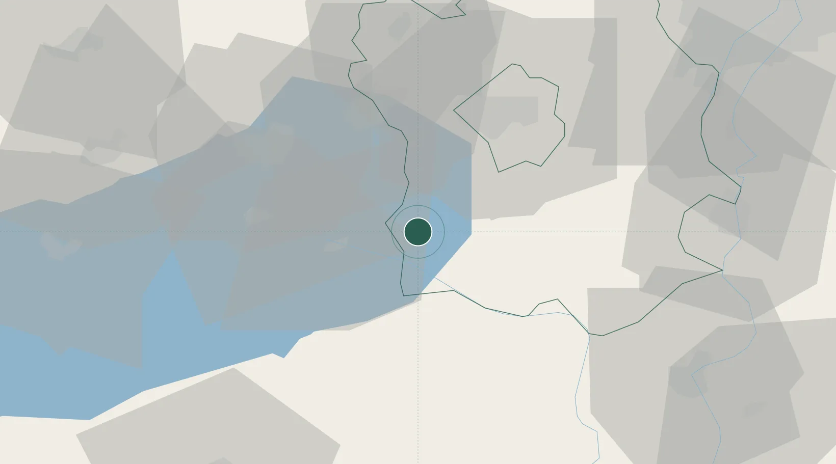
Hub Profile
Place type
Provincial seat
Region
Fejér
Population
7,171
Time zone
Europe/Budapest
Elevation
127 m
Location
Nearby Logistics Neighbours
Cities
- 1Siófok16 km
- 2Felsönyék17 km
- 3Tác20 km
- 4Alsóörs21 km
- 5Balatonfuzfo21 km
Ports
- 1Senj338 km
- 2Bakar339 km
- 3Omisalj343 km
- 4Rijeka Luka344 km
- 5Zaliv Rasa385 km
Airports
- 1Taszár Air Base65 km
- 2Kalocsa-Foktő Airfield68 km
- 3Tököl Airport72 km
- 4Győr-Pér Airport84 km
- 5Hévíz–Balaton Airport87 km
Trade Zones
- 1Göd Special Economic Zone108 km
- 2Subotica Free Zone143 km
- 3Apatin Free Zone150 km
- 4Sjever Free Zone163 km
- 5Osijek Free Zone180 km
DatabookThe Record of Consolidated Knowledge
Hungary beyond logistics?