Transport Functions
Rail
Road
Hub Profile
Place type
Populated place
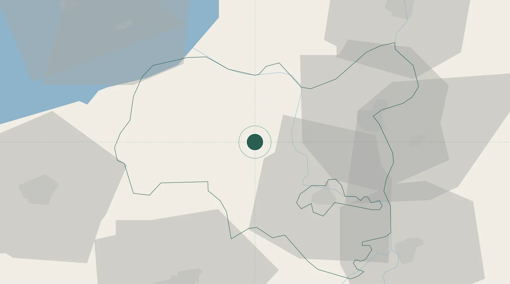
Region
Tolna County
Time zone
Europe/Budapest
Elevation
134 m
Location
Nearby Logistics Neighbours
Cities
- 1Fácánkert21 km
- 2Simontornya25 km
- 3Paks30 km
- 4Felsönyék32 km
- 5Dombóvár33 km
Ports
- 1Senj327 km
- 2Bakar335 km
- 3Omisalj338 km
- 4Rijeka Luka340 km
- 5Zadar371 km
Airports
- 1Kalocsa-Foktő Airfield35 km
- 2Taszár Air Base46 km
- 3Pécs-Pogány International Airport63 km
- 4Tököl Airport98 km
- 5Hévíz–Balaton Airport103 km
Trade Zones
- 1Apatin Free Zone102 km
- 2Subotica Free Zone102 km
- 3Osijek Free Zone135 km
- 4Göd Special Economic Zone138 km
- 5Podunavska Gospodarska Zona Vukovar138 km
DatabookThe Record of Consolidated Knowledge
Hungary beyond logistics?