Transport Functions
Rail
Road
Hub Profile
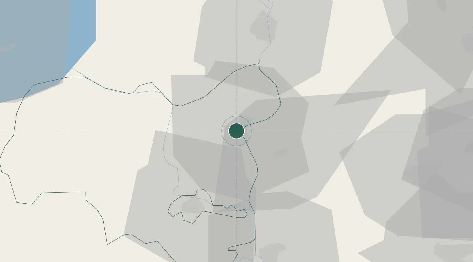
Place type
Provincial seat
Region
Tolna County
Population
20,638
Time zone
Europe/Budapest
Elevation
96 m
Location
Nearby Logistics Neighbours
Ports
- 1Senj356 km
- 2Bakar364 km
- 3Omisalj367 km
- 4Rijeka Luka370 km
- 5Dugi Rat392 km
Airports
- 1Kalocsa-Foktő Airfield10 km
- 2Taszár Air Base76 km
- 3Kecskemét Air Base76 km
- 4Tököl Airport82 km
- 5Pécs-Pogány International Airport84 km
Trade Zones
- 1Subotica Free Zone85 km
- 2Apatin Free Zone105 km
- 3Göd Special Economic Zone121 km
- 4Podunavska Gospodarska Zona Vukovar142 km
- 5Osijek Free Zone147 km
DatabookThe Record of Consolidated Knowledge
Hungary beyond logistics?