Transport Functions
Rail
Road
Hub Profile
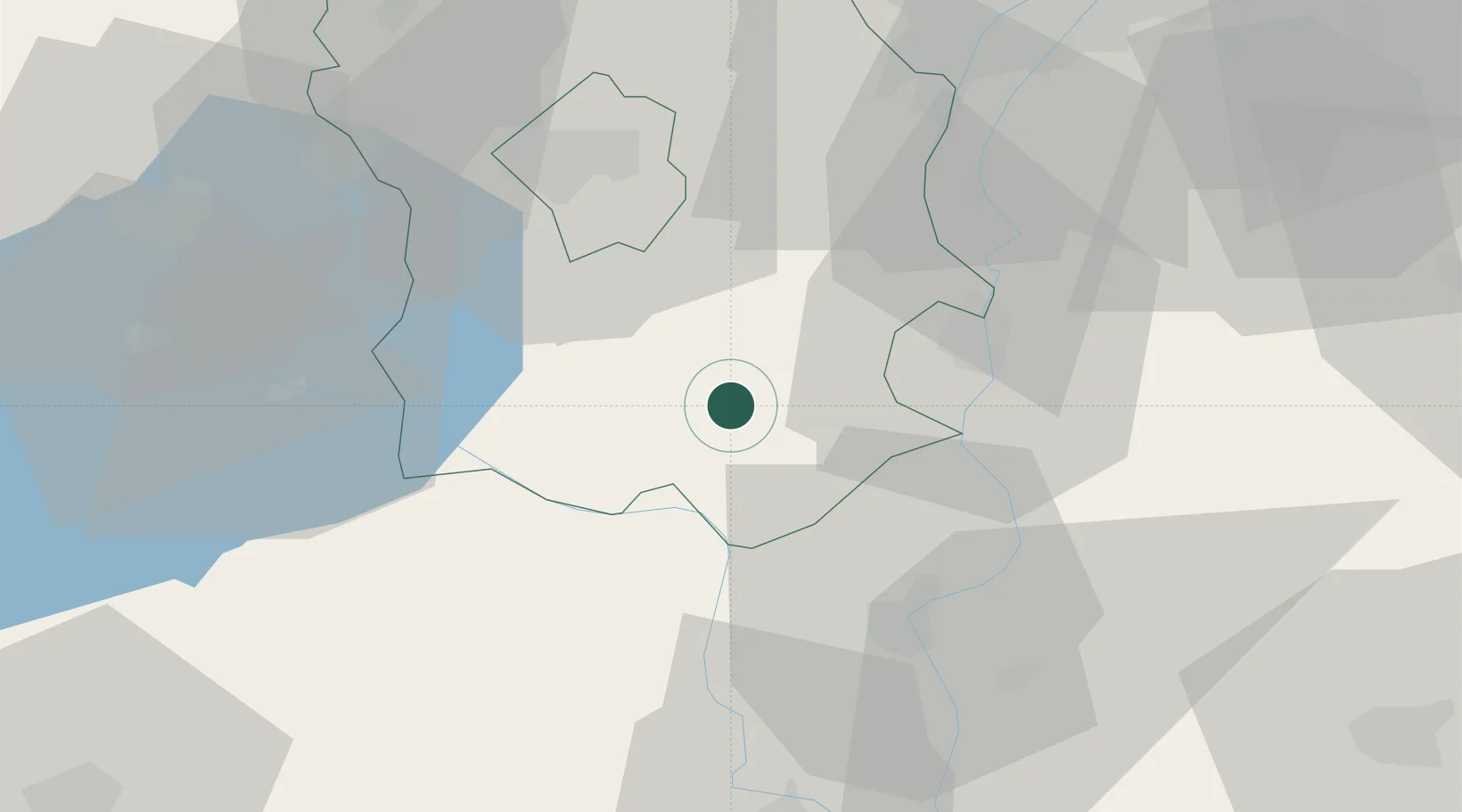
Place type
Populated place
Region
Fejér
Population
13,424
Time zone
Europe/Budapest
Elevation
107 m
Location
Nearby Logistics Neighbours
Cities
- 1Simontornya16 km
- 2Szabadegyháza23 km
- 3Dunaújváros25 km
- 4Dunavecse26 km
- 5Rácalmás27 km
Ports
- 1Senj358 km
- 2Bakar362 km
- 3Omisalj366 km
- 4Rijeka Luka367 km
- 5Zadar407 km
Airports
- 1Kalocsa-Foktő Airfield44 km
- 2Tököl Airport58 km
- 3Taszár Air Base77 km
- 4Budapest Liszt Ferenc International Airport77 km
- 5Kecskemét Air Base85 km
Trade Zones
- 1Göd Special Economic Zone97 km
- 2Subotica Free Zone118 km
- 3Apatin Free Zone136 km
- 4Podunavska Gospodarska Zona Vukovar174 km
- 5Osijek Free Zone174 km
DatabookThe Record of Consolidated Knowledge
Hungary beyond logistics?