Transport Functions
Rail
Road
Multimodal
Hub Profile
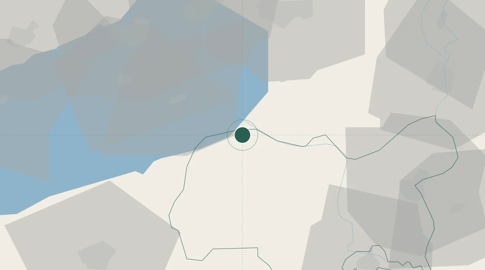
Place type
Populated place
Region
Tolna County
Time zone
Europe/Budapest
Elevation
123 m
Location
Nearby Logistics Neighbours
Cities
- 1Enying17 km
- 2Simontornya21 km
- 3Siófok22 km
- 4Sárbogárd29 km
- 5Szakadát32 km
Ports
- 1Senj330 km
- 2Bakar333 km
- 3Omisalj337 km
- 4Rijeka Luka338 km
- 5Zaliv Rasa379 km
Airports
- 1Taszár Air Base52 km
- 2Kalocsa-Foktő Airfield57 km
- 3Tököl Airport82 km
- 4Hévíz–Balaton Airport86 km
- 5Pécs-Pogány International Airport88 km
Trade Zones
- 1Göd Special Economic Zone120 km
- 2Subotica Free Zone130 km
- 3Apatin Free Zone134 km
- 4Sjever Free Zone158 km
- 5Osijek Free Zone163 km
DatabookThe Record of Consolidated Knowledge
Hungary beyond logistics?