Transport Functions
Rail
Road
Hub Profile
Place type
Populated place
Region
Tolna County
Time zone
Europe/Budapest
Elevation
101 m
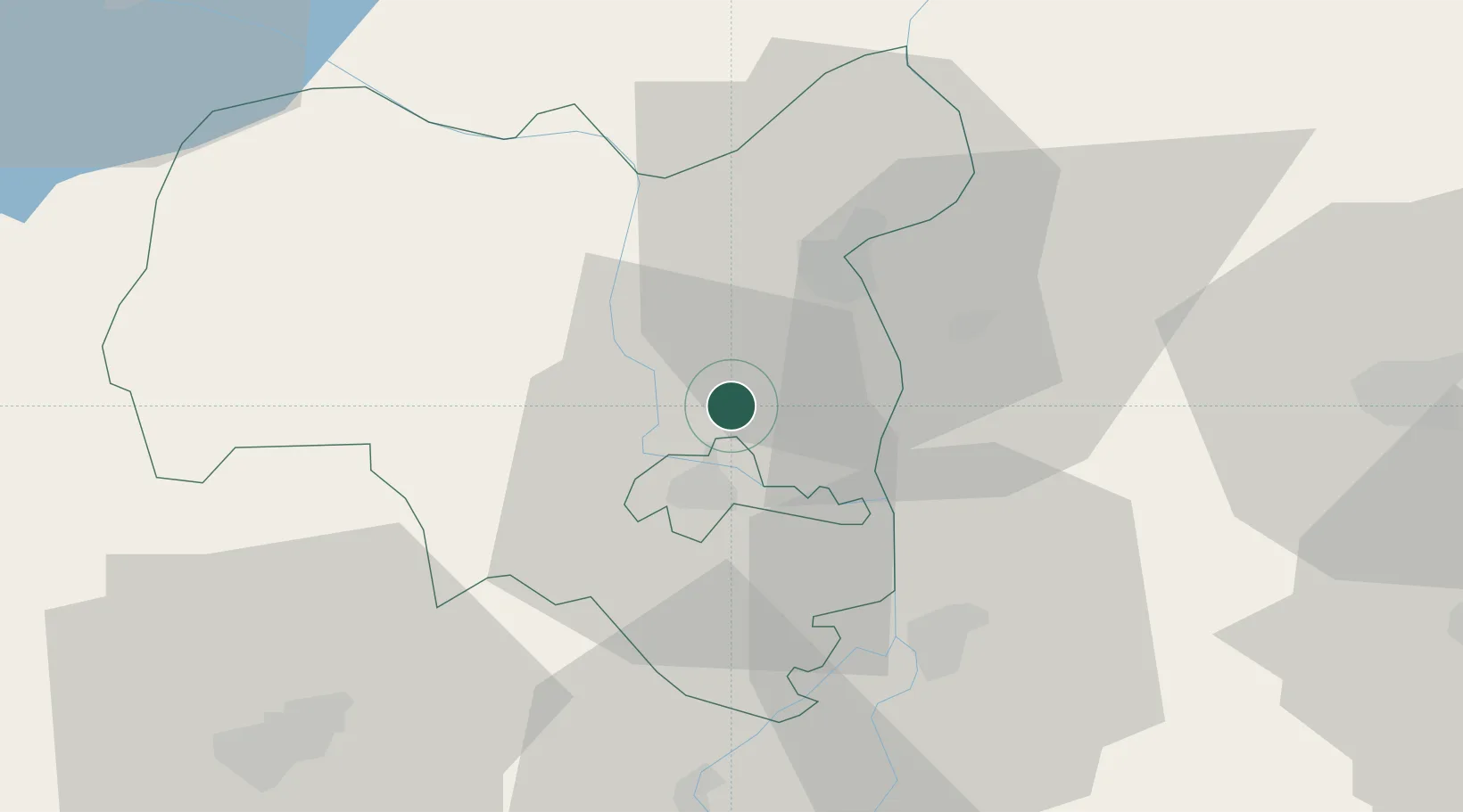
Location
Nearby Logistics Neighbours
Ports
- 1Senj339 km
- 2Bakar349 km
- 3Omisalj352 km
- 4Rijeka Luka355 km
- 5Dugi Rat372 km
Airports
- 1Kalocsa-Foktő Airfield20 km
- 2Taszár Air Base63 km
- 3Pécs-Pogány International Airport64 km
- 4Kecskemét Air Base93 km
- 5Tököl Airport101 km
Trade Zones
- 1Subotica Free Zone81 km
- 2Apatin Free Zone88 km
- 3Podunavska Gospodarska Zona Vukovar125 km
- 4Osijek Free Zone127 km
- 5Göd Special Economic Zone141 km
DatabookThe Record of Consolidated Knowledge
Hungary beyond logistics?