Transport Functions
Rail
Road
Hub Profile
Place type
Provincial seat
Region
Tolna County
Population
20,748
Time zone
Europe/Budapest
Elevation
131 m
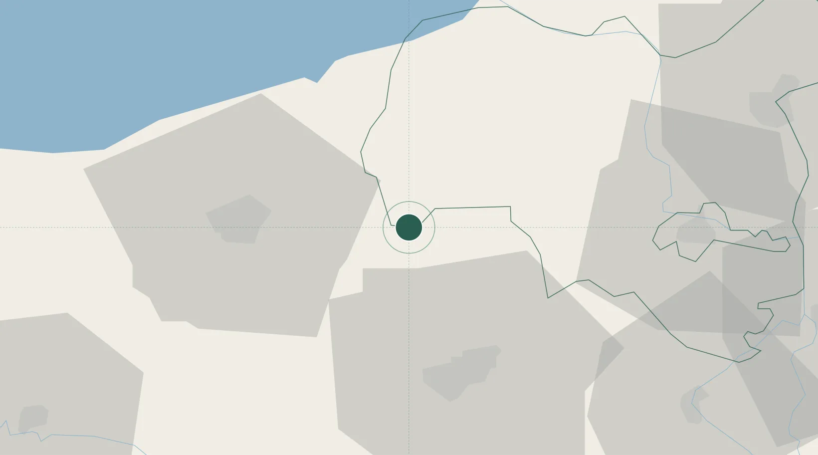
Location
Nearby Logistics Neighbours
Cities
- 1Santos19 km
- 2Mecseknádasd31 km
- 3Szakadát33 km
- 4Szentlorinc39 km
- 5Botykapeterd41 km
Ports
- 1Senj295 km
- 2Bakar303 km
- 3Omisalj306 km
- 4Rijeka Luka309 km
- 5Zadar339 km
Airports
- 1Taszár Air Base17 km
- 2Pécs-Pogány International Airport43 km
- 3Kalocsa-Foktő Airfield65 km
- 4Hévíz–Balaton Airport83 km
- 5Osijek Airport113 km
Trade Zones
- 1Apatin Free Zone100 km
- 2Osijek Free Zone119 km
- 3Subotica Free Zone120 km
- 4Podunavska Gospodarska Zona Vukovar132 km
- 5Duro Daković Free Zone133 km
DatabookThe Record of Consolidated Knowledge
Hungary beyond logistics?