Transport Functions
Rail
Road
Multimodal
Hub Profile
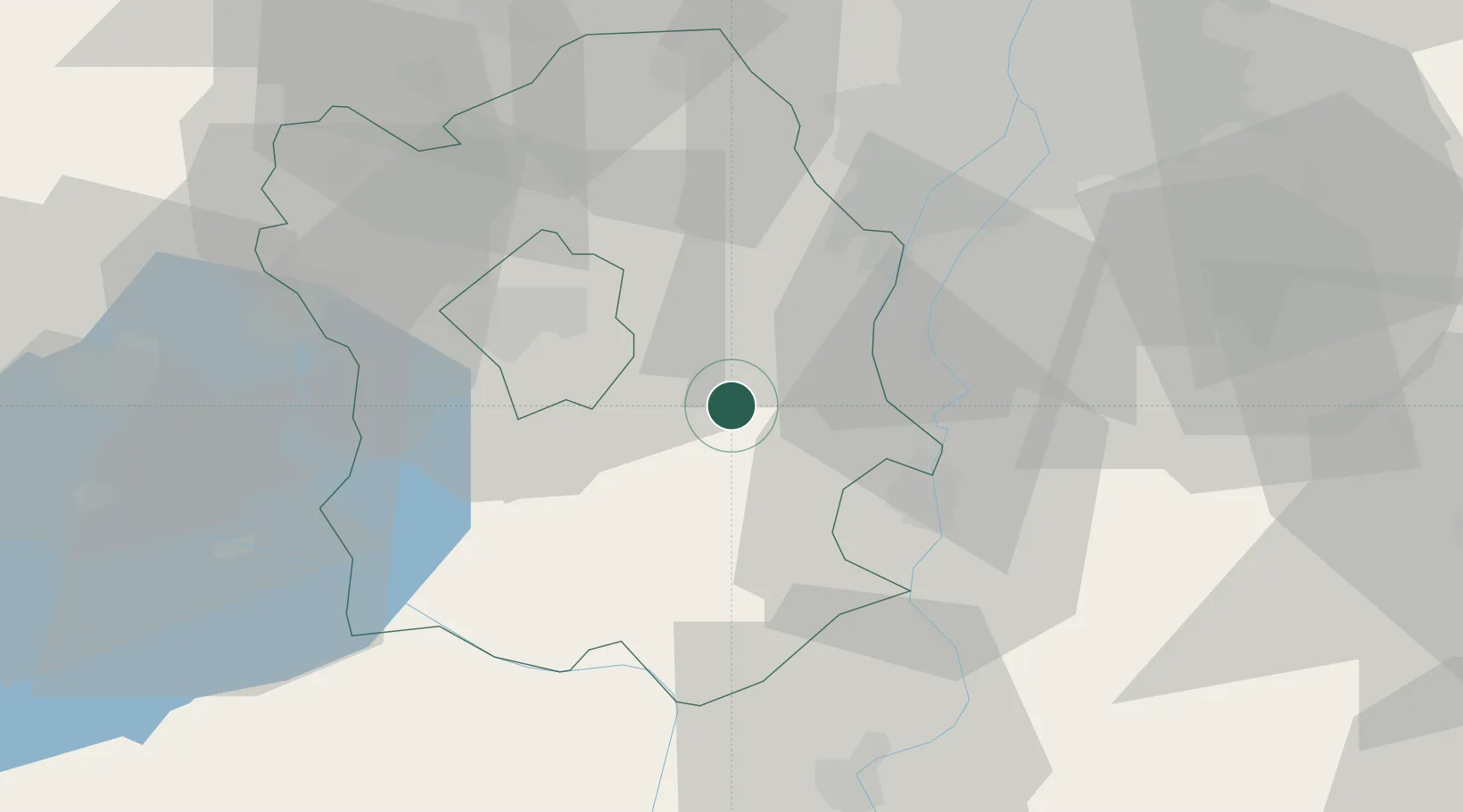
Place type
Populated place
Region
Fejér
Time zone
Europe/Budapest
Elevation
121 m
Location
Nearby Logistics Neighbours
Cities
- 1Pusztaszabolcs8 km
- 2Adony13 km
- 3Kulcs17 km
- 4Sukoró18 km
- 5Velence19 km
Ports
- 1Senj375 km
- 2Bakar377 km
- 3Omisalj381 km
- 4Rijeka Luka382 km
- 5Zaliv Rasa423 km
Airports
- 1Tököl Airport36 km
- 2Budapest Liszt Ferenc International Airport57 km
- 3Kalocsa-Foktő Airfield62 km
- 4Kecskemét Air Base82 km
- 5Győr-Pér Airport91 km
Trade Zones
- 1Göd Special Economic Zone75 km
- 2Subotica Free Zone133 km
- 3Apatin Free Zone157 km
- 4Podunavska Gospodarska Zona Vukovar195 km
- 5Osijek Free Zone197 km
DatabookThe Record of Consolidated Knowledge
Hungary beyond logistics?