UN/LOCODE hub · Hungary
HUSZB
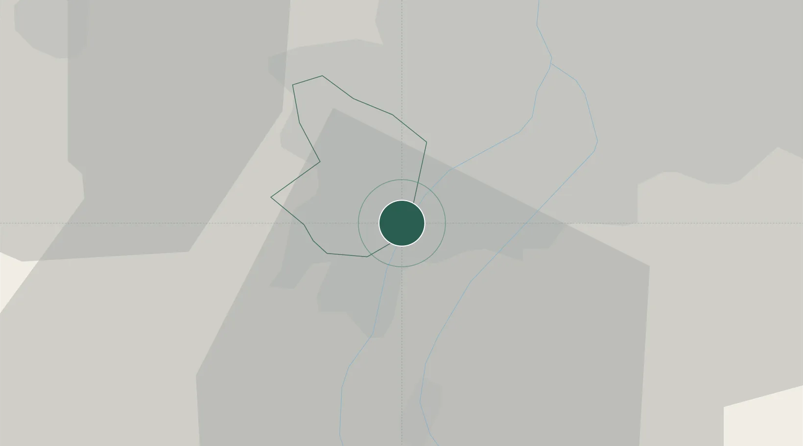
Százhalombatta
47.3333°, 18.9333°
17,566
Population
2
Transport functions
Transport Functions
Rail
Road
Hub Profile
Place type
Populated place
Region
Pest County
Population
17,566
Time zone
Europe/Budapest
Elevation
105 m
Location
Nearby Logistics Neighbours
Cities
- 1Erd4 km
- 2Halásztelek5 km
- 3Szigetcsép8 km
- 4Szigetszentmiklós8 km
- 5Majoshaza9 km
Ports
- 1Senj406 km
- 2Bakar407 km
- 3Rijeka Luka411 km
- 4Omisalj411 km
- 5Zaliv Rasa452 km
Airports
- 1Tököl Airport4 km
- 2Budapest Liszt Ferenc International Airport27 km
- 3Kecskemét Air Base77 km
- 4Kalocsa-Foktő Airfield87 km
- 5Győr-Pér Airport91 km
Trade Zones
- 1Göd Special Economic Zone42 km
- 2Subotica Free Zone150 km
- 3Apatin Free Zone184 km
- 4Free Zone Curtici Arad210 km
- 5Veselí nad Moravou Industrial Zone214 km
DatabookThe Record of Consolidated Knowledge
Hungary beyond logistics?