Transport Functions
Multimodal
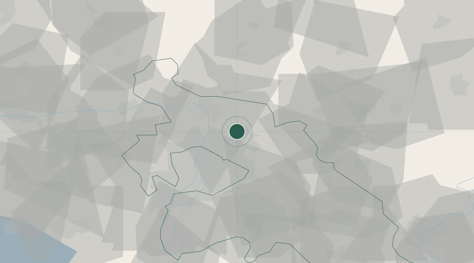
Hub Profile
Place type
Populated place
Region
Pest County
Population
5,495
Time zone
Europe/Budapest
Elevation
187 m
Location
Nearby Logistics Neighbours
Cities
- 1Veresegyház4 km
- 2Fót9 km
- 3Mogyoród9 km
- 4Göd10 km
- 5Szodliget10 km
Ports
- 1Bakar449 km
- 2Senj450 km
- 3Rijeka Luka453 km
- 4Omisalj454 km
- 5Zaliv Rasa495 km
Airports
- 1Budapest Liszt Ferenc International Airport28 km
- 2Tököl Airport43 km
- 3Kecskemét Air Base93 km
- 4Szolnok Air Base96 km
- 5Sliač Airport107 km
Trade Zones
- 1Göd Special Economic Zone7 km
- 2Subotica Free Zone181 km
- 3Veselí nad Moravou Industrial Zone199 km
- 4Free Zone Curtici Arad213 km
- 5Holešov Industrial Zone223 km
DatabookThe Record of Consolidated Knowledge
Hungary beyond logistics?