Transport Functions
Rail
Road
Multimodal
Hub Profile
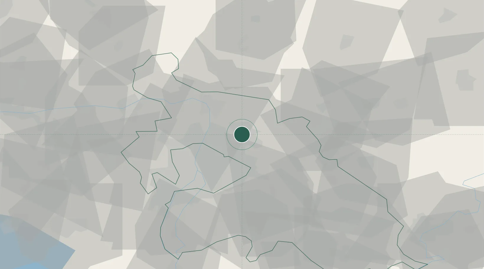
Place type
Populated place
Region
Pest County
Population
18,122
Time zone
Europe/Budapest
Elevation
175 m
Location
Nearby Logistics Neighbours
Ports
- 1Bakar448 km
- 2Senj449 km
- 3Rijeka Luka452 km
- 4Omisalj452 km
- 5Zaliv Rasa494 km
Airports
- 1Budapest Liszt Ferenc International Airport25 km
- 2Tököl Airport41 km
- 3Kecskemét Air Base89 km
- 4Szolnok Air Base93 km
- 5Sliač Airport110 km
Trade Zones
- 1Göd Special Economic Zone9 km
- 2Subotica Free Zone177 km
- 3Veselí nad Moravou Industrial Zone202 km
- 4Free Zone Curtici Arad210 km
- 5Apatin Free Zone220 km
DatabookThe Record of Consolidated Knowledge
Hungary beyond logistics?