Transport Functions
Port
Road
Hub Profile
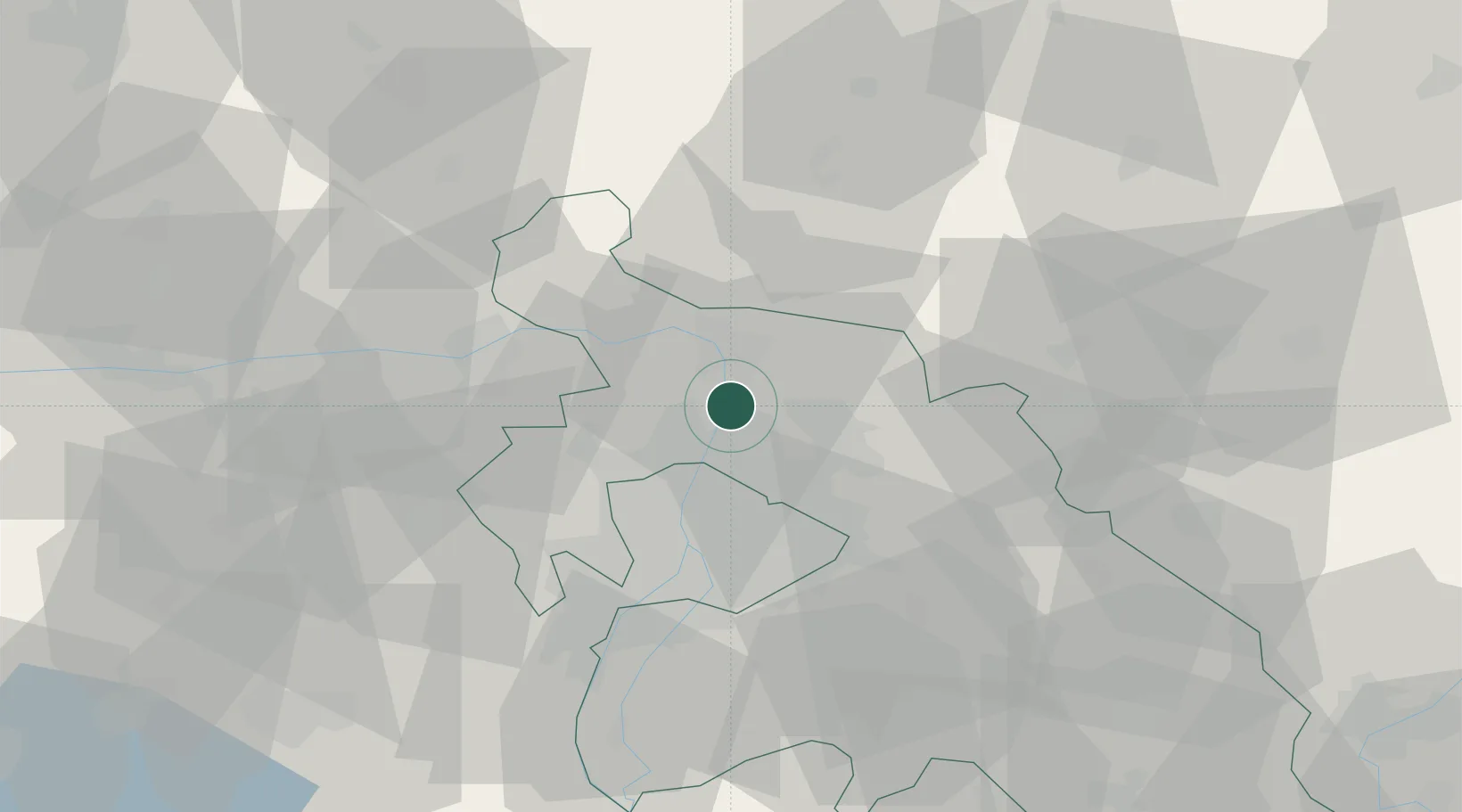
Place type
Populated place
Region
Pest County
Population
15,874
Time zone
Europe/Budapest
Elevation
112 m
Location
Nearby Logistics Neighbours
Cities
- 1Szodliget4 km
- 2Tahitotfalu6 km
- 3Szentendre6 km
- 4Vác9 km
- 5Orbottyán10 km
Ports
- 1Bakar442 km
- 2Senj444 km
- 3Rijeka Luka446 km
- 4Omisalj447 km
- 5Zaliv Rasa488 km
Airports
- 1Budapest Liszt Ferenc International Airport32 km
- 2Tököl Airport41 km
- 3Kecskemét Air Base99 km
- 4Győr-Pér Airport100 km
- 5Sliač Airport104 km
Trade Zones
- 1Göd Special Economic Zone3 km
- 2Subotica Free Zone184 km
- 3Veselí nad Moravou Industrial Zone191 km
- 4Holešov Industrial Zone216 km
- 5Free Zone Curtici Arad222 km
DatabookThe Record of Consolidated Knowledge
Hungary beyond logistics?