Transport Functions
Rail
Road
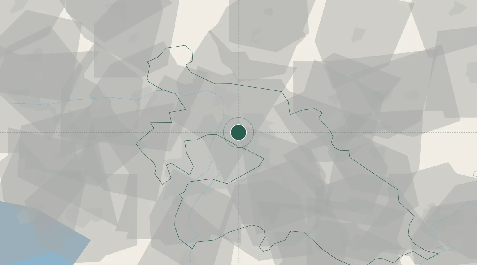
Hub Profile
Place type
Populated place
Region
Pest County
Population
16,770
Time zone
Europe/Budapest
Elevation
145 m
Location
Nearby Logistics Neighbours
Cities
- 1Mogyoród4 km
- 2Veresegyház7 km
- 3Csömör8 km
- 4Orbottyán9 km
- 5Újpest10 km
Ports
- 1Bakar441 km
- 2Senj441 km
- 3Rijeka Luka445 km
- 4Omisalj445 km
- 5Zaliv Rasa486 km
Airports
- 1Budapest Liszt Ferenc International Airport21 km
- 2Tököl Airport34 km
- 3Kecskemét Air Base88 km
- 4Szolnok Air Base95 km
- 5Győr-Pér Airport105 km
Trade Zones
- 1Göd Special Economic Zone7 km
- 2Subotica Free Zone174 km
- 3Veselí nad Moravou Industrial Zone201 km
- 4Free Zone Curtici Arad212 km
- 5Apatin Free Zone216 km
DatabookThe Record of Consolidated Knowledge
Hungary beyond logistics?