Transport Functions
Multimodal
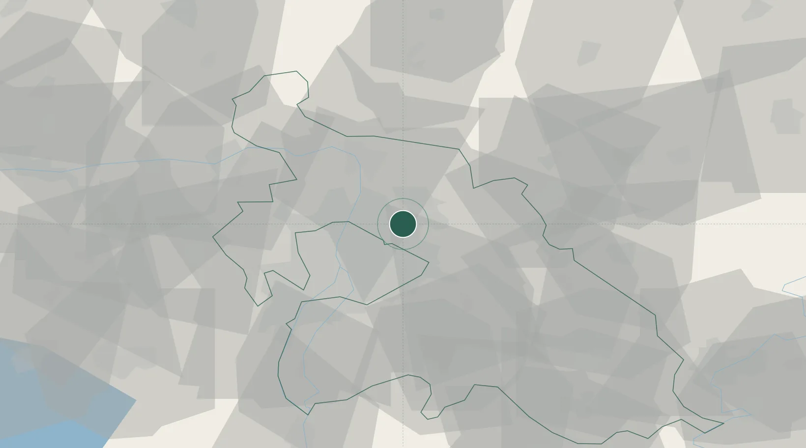
Hub Profile
Place type
Populated place
Region
Pest County
Population
4,949
Time zone
Europe/Budapest
Elevation
188 m
Location
Nearby Logistics Neighbours
Cities
- 1Fót4 km
- 2Csömör6 km
- 3Veresegyház6 km
- 4Kerepes8 km
- 5Orbottyán9 km
Ports
- 1Bakar443 km
- 2Senj443 km
- 3Rijeka Luka447 km
- 4Omisalj447 km
- 5Zaliv Rasa489 km
Airports
- 1Budapest Liszt Ferenc International Airport19 km
- 2Tököl Airport35 km
- 3Kecskemét Air Base85 km
- 4Szolnok Air Base91 km
- 5Győr-Pér Airport108 km
Trade Zones
- 1Göd Special Economic Zone11 km
- 2Subotica Free Zone172 km
- 3Veselí nad Moravou Industrial Zone205 km
- 4Free Zone Curtici Arad208 km
- 5Apatin Free Zone215 km
DatabookThe Record of Consolidated Knowledge
Hungary beyond logistics?