Transport Functions
Multimodal
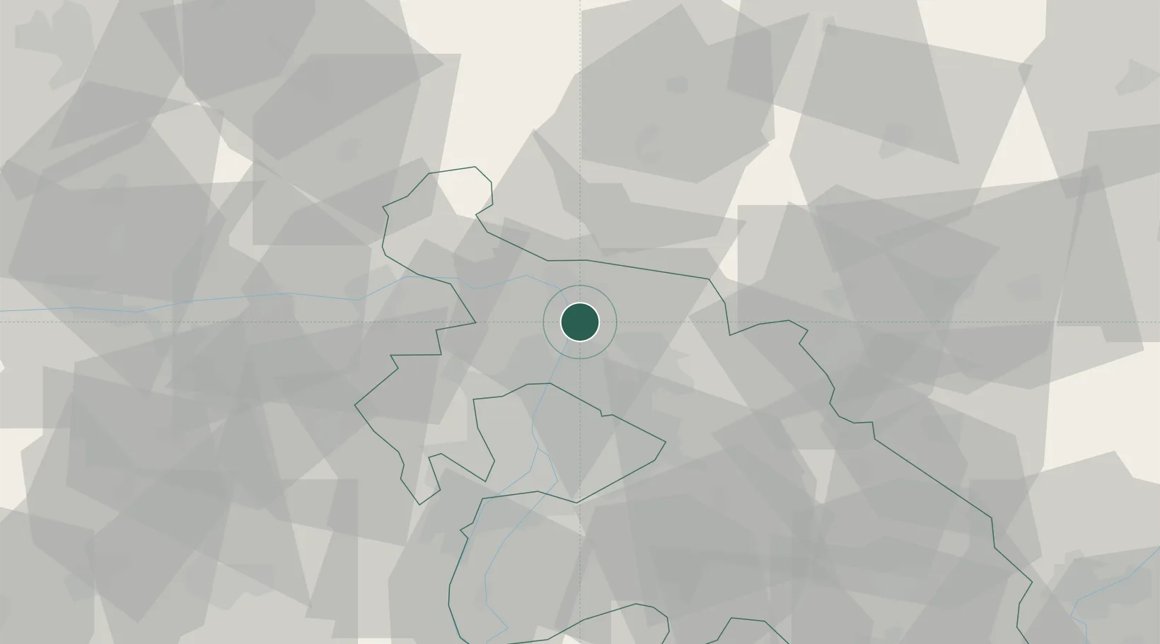
Hub Profile
Place type
Populated place
Region
Pest County
Population
4,350
Time zone
Europe/Budapest
Elevation
113 m
Location
Nearby Logistics Neighbours
Cities
- 1Göd4 km
- 2Tahitotfalu4 km
- 3Vác6 km
- 4Szentendre8 km
- 5Orbottyán10 km
Ports
- 1Bakar445 km
- 2Senj447 km
- 3Rijeka Luka449 km
- 4Omisalj450 km
- 5Zaliv Rasa491 km
Airports
- 1Budapest Liszt Ferenc International Airport35 km
- 2Tököl Airport45 km
- 3Sliač Airport101 km
- 4Kecskemét Air Base101 km
- 5Győr-Pér Airport101 km
Trade Zones
- 1Göd Special Economic Zone6 km
- 2Subotica Free Zone188 km
- 3Veselí nad Moravou Industrial Zone189 km
- 4Holešov Industrial Zone213 km
- 5Free Zone Curtici Arad223 km
DatabookThe Record of Consolidated Knowledge
Hungary beyond logistics?