Transport Functions
Rail
Road
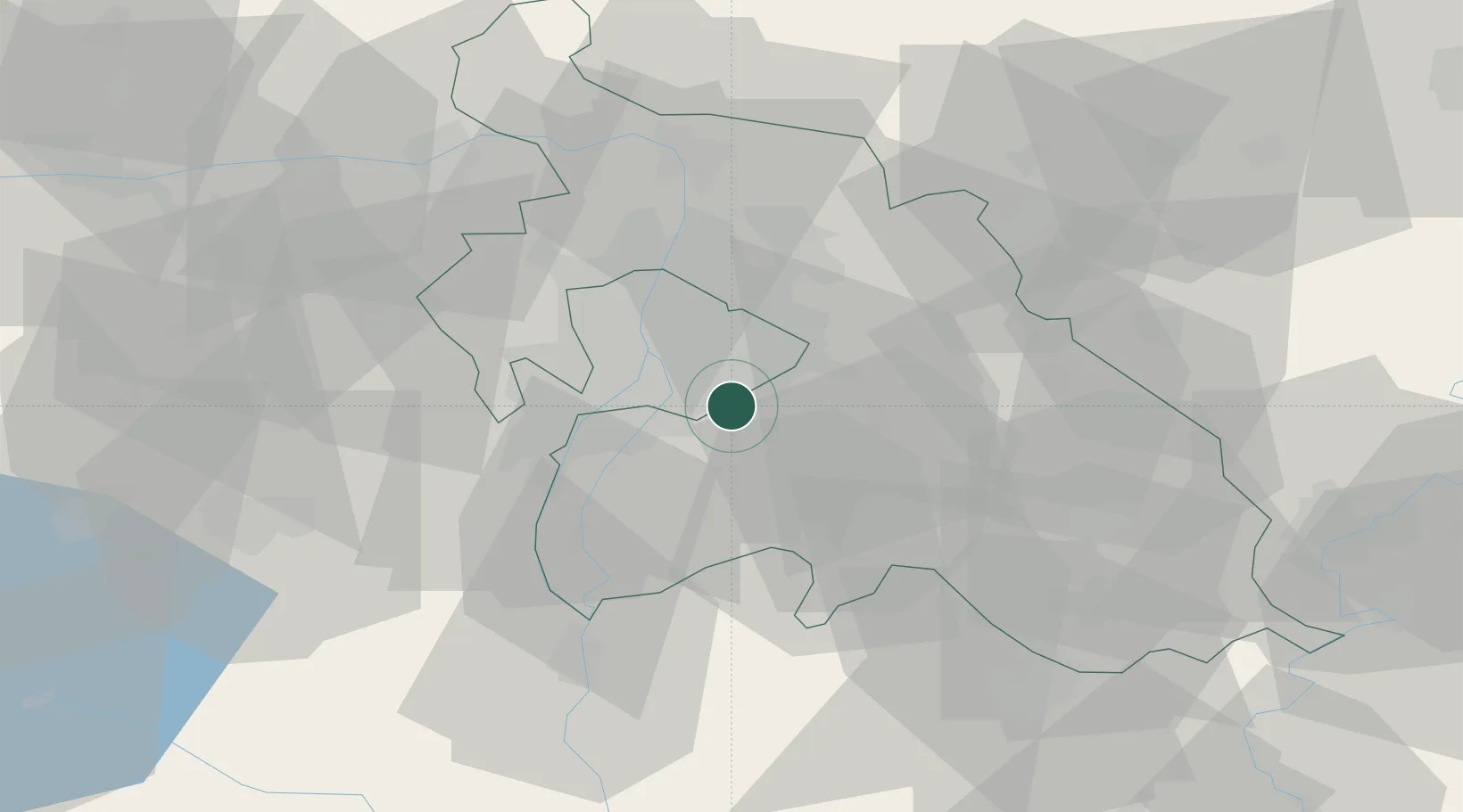
Hub Profile
Place type
Provincial seat
Region
Pest County
Population
21,937
Time zone
Europe/Budapest
Elevation
113 m
Location
Nearby Logistics Neighbours
Cities
- 1Felsopakony5 km
- 2Vecsés7 km
- 3Budapest9 km
- 4Ócsa10 km
- 5Taksony10 km
Ports
- 1Senj425 km
- 2Bakar427 km
- 3Omisalj431 km
- 4Rijeka Luka431 km
- 5Zaliv Rasa472 km
Airports
- 1Budapest Liszt Ferenc International Airport7 km
- 2Tököl Airport17 km
- 3Kecskemét Air Base66 km
- 4Szolnok Air Base83 km
- 5Kalocsa-Foktő Airfield95 km
Trade Zones
- 1Göd Special Economic Zone33 km
- 2Subotica Free Zone149 km
- 3Apatin Free Zone190 km
- 4Free Zone Curtici Arad196 km
- 5VGP Park Arad205 km
DatabookThe Record of Consolidated Knowledge
Hungary beyond logistics?