Transport Functions
Rail
Road
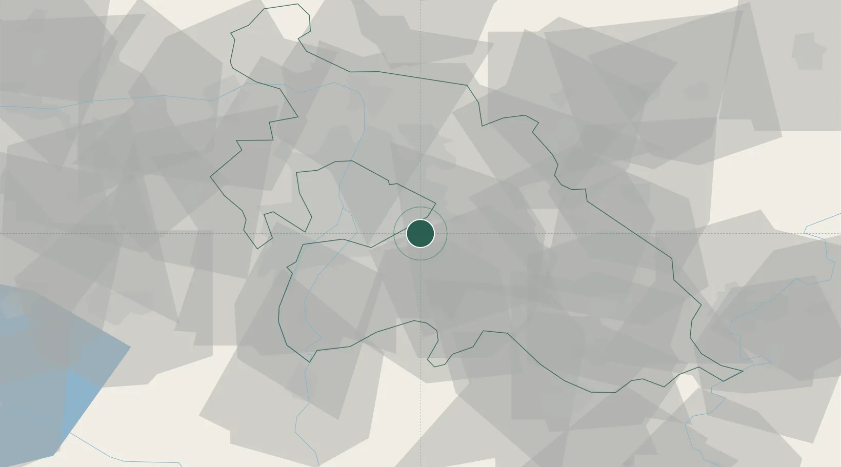
Hub Profile
Place type
Provincial seat
Region
Pest County
Population
19,327
Time zone
Europe/Budapest
Elevation
120 m
Location
Nearby Logistics Neighbours
Cities
- 1Üllo5 km
- 2Felsopakony6 km
- 3Gyál7 km
- 4Maglod8 km
- 5Gyömrö9 km
Ports
- 1Senj431 km
- 2Bakar433 km
- 3Omisalj437 km
- 4Rijeka Luka437 km
- 5Zaliv Rasa479 km
Airports
- 1Budapest Liszt Ferenc International Airport4 km
- 2Tököl Airport24 km
- 3Kecskemét Air Base64 km
- 4Szolnok Air Base78 km
- 5Kalocsa-Foktő Airfield98 km
Trade Zones
- 1Göd Special Economic Zone32 km
- 2Subotica Free Zone149 km
- 3Free Zone Curtici Arad192 km
- 4Apatin Free Zone193 km
- 5VGP Park Arad202 km
DatabookThe Record of Consolidated Knowledge
Hungary beyond logistics?