Transport Functions
Multimodal
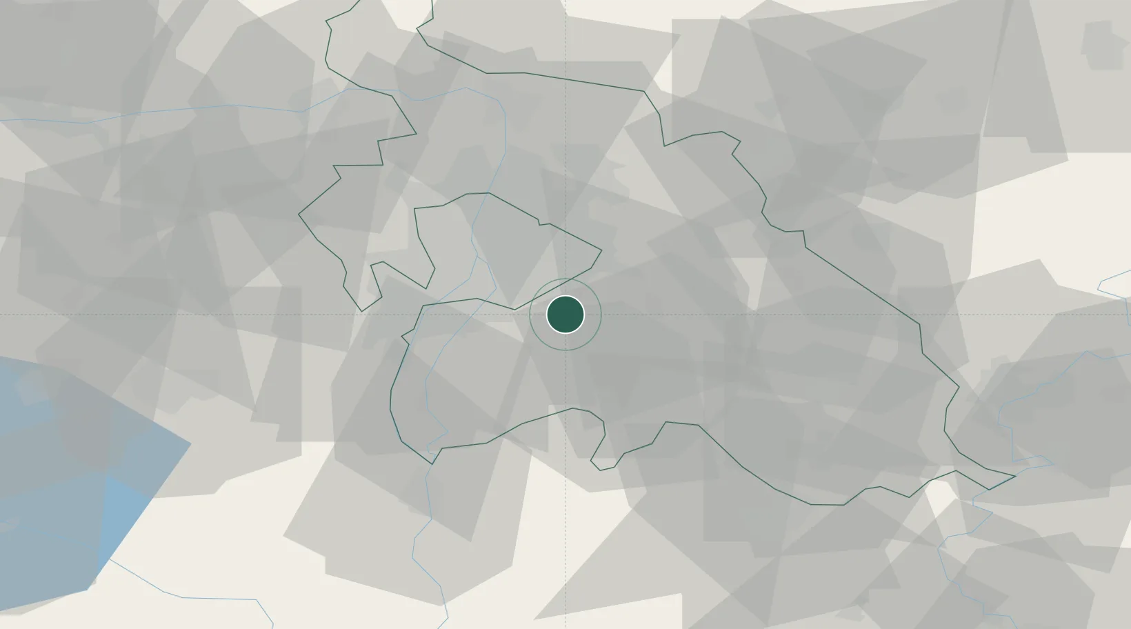
Hub Profile
Place type
Populated place
Region
Pest County
Population
3,040
Time zone
Europe/Budapest
Elevation
108 m
Location
Nearby Logistics Neighbours
Ports
- 1Senj426 km
- 2Bakar428 km
- 3Omisalj432 km
- 4Rijeka Luka432 km
- 5Zaliv Rasa474 km
Airports
- 1Budapest Liszt Ferenc International Airport9 km
- 2Tököl Airport20 km
- 3Kecskemét Air Base61 km
- 4Szolnok Air Base79 km
- 5Kalocsa-Foktő Airfield92 km
Trade Zones
- 1Göd Special Economic Zone37 km
- 2Subotica Free Zone145 km
- 3Apatin Free Zone187 km
- 4Free Zone Curtici Arad190 km
- 5VGP Park Arad200 km
DatabookThe Record of Consolidated Knowledge
Hungary beyond logistics?