Transport Functions
Multimodal
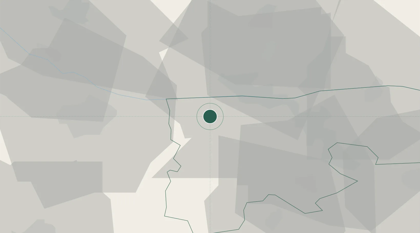
Hub Profile
Place type
Populated place
Region
Komárom-Esztergom
Population
7,180
Time zone
Europe/Budapest
Elevation
116 m
Location
Nearby Logistics Neighbours
Cities
- 1Nova Straz8 km
- 2Komárom8 km
- 3Nagyigmánd9 km
- 4Mocsa13 km
- 5Gónyú14 km
Ports
- 1Bakar377 km
- 2Rijeka Luka380 km
- 3Omisalj383 km
- 4Senj385 km
- 5Zaliv Rasa423 km
Airports
- 1Győr-Pér Airport18 km
- 2M. R. Štefánik Airport80 km
- 3Tököl Airport82 km
- 4Budapest Liszt Ferenc International Airport98 km
- 5Malacky/Kuchyňa Air Base103 km
Trade Zones
- 1Göd Special Economic Zone86 km
- 2Veselí nad Moravou Industrial Zone147 km
- 3Holešov Industrial Zone184 km
- 4Černovická Terasa Industrial Zone191 km
- 5Sjever Free Zone202 km
DatabookThe Record of Consolidated Knowledge
Hungary beyond logistics?