Transport Functions
Port
Hub Profile
Place type
Populated place
Region
Hajdú-Bihar
Population
4,468
Time zone
Europe/Budapest
Elevation
100 m
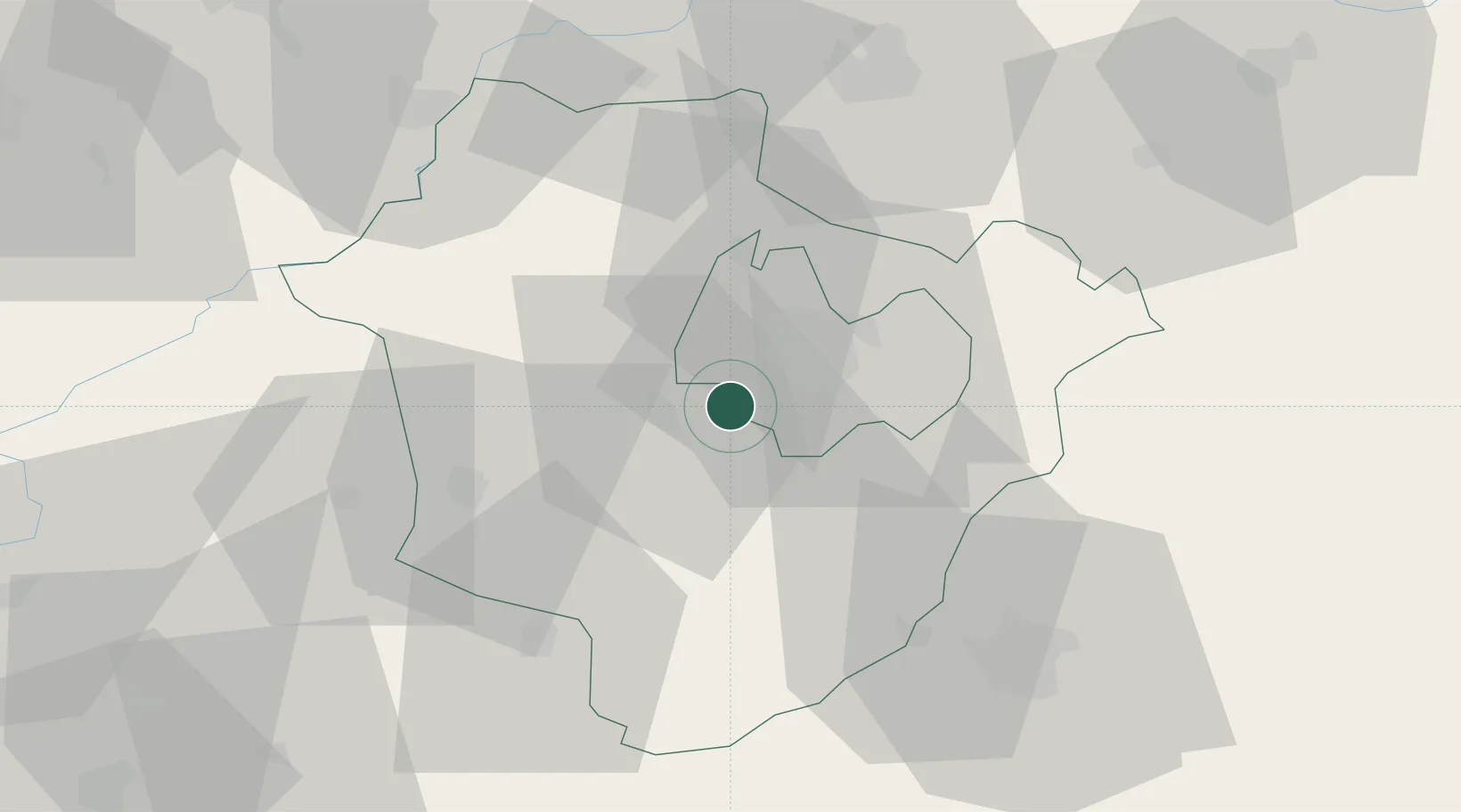
Location
Nearby Logistics Neighbours
Cities
- 1Debrecen9 km
- 2Kaba21 km
- 3Nádudvar26 km
- 4Barand27 km
- 5Berettyóújfalu28 km
Airports
Trade Zones
- 1Customs Free Zone Zahony115 km
- 2Free Zone Curtici Arad125 km
- 3Transcarpathian Special Economic Zone (Zakarpattia)141 km
- 4VGP Park Arad145 km
- 5Göd Special Economic Zone177 km
DatabookThe Record of Consolidated Knowledge
Hungary beyond logistics?