Transport Functions
Road
Multimodal
Hub Profile
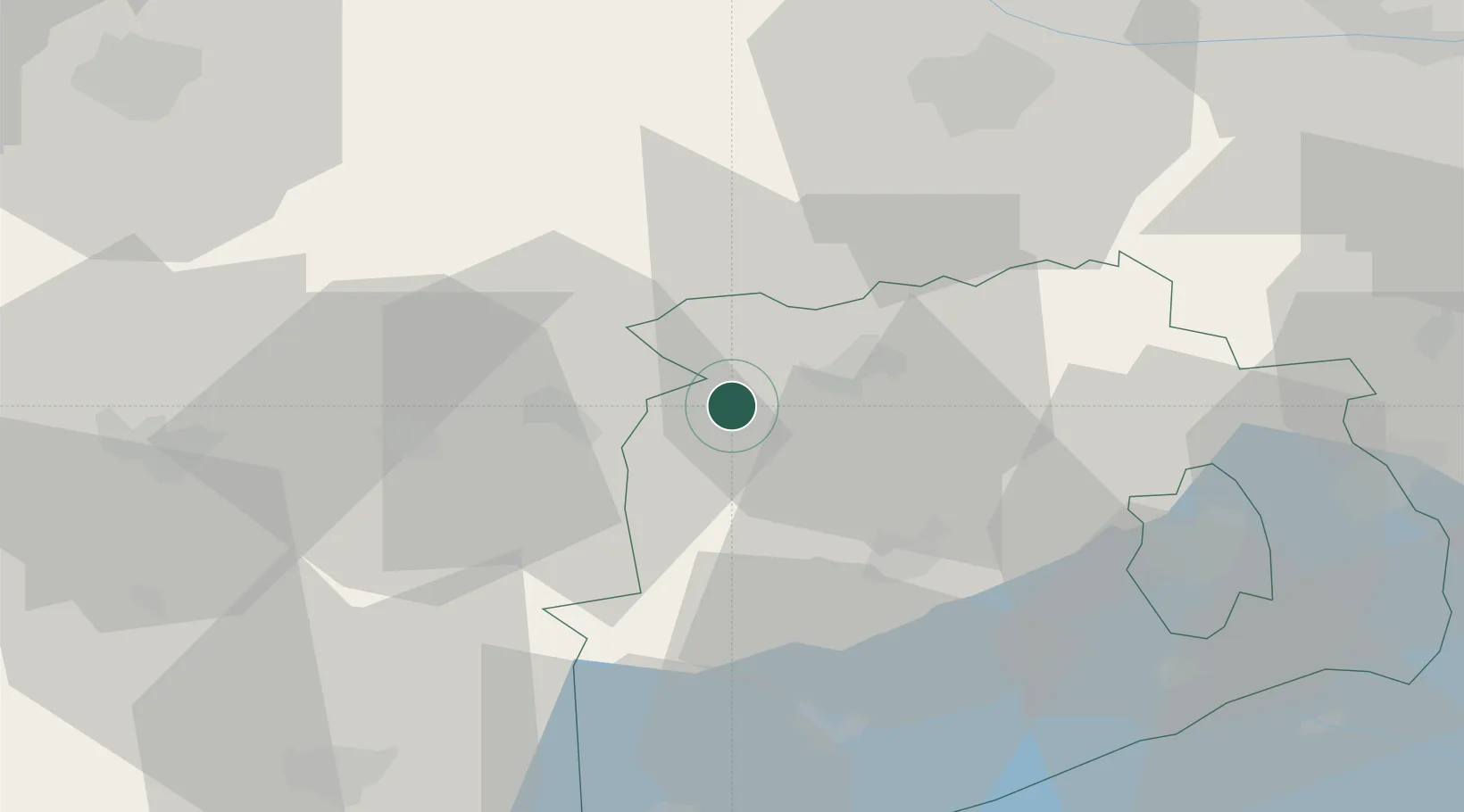
Place type
Populated place
Region
Veszprém
Time zone
Europe/Budapest
Elevation
129 m
Location
Nearby Logistics Neighbours
Cities
- 1Celldömölk15 km
- 2Jánosháza24 km
- 3Ajka28 km
- 4Sárvár31 km
- 5Gógánfa34 km
Ports
- 1Bakar309 km
- 2Rijeka Luka312 km
- 3Omisalj315 km
- 4Senj319 km
- 5Trieste330 km
Airports
- 1Győr-Pér Airport51 km
- 2Hévíz–Balaton Airport70 km
- 3M. R. Štefánik Airport97 km
- 4Wiener Neustadt East Airport101 km
- 5Wiener Neustadt West Airport103 km
Trade Zones
- 1Sjever Free Zone135 km
- 2Göd Special Economic Zone144 km
- 3Krapina-Zagorje Free Zone169 km
- 4Veselí nad Moravou Industrial Zone184 km
- 5PJ Free Zone Zagreb201 km
DatabookThe Record of Consolidated Knowledge
Hungary beyond logistics?