Transport Functions
Rail
Road
Multimodal
Hub Profile
Place type
Populated place
Region
Veszprém
Time zone
Europe/Budapest
Elevation
143 m
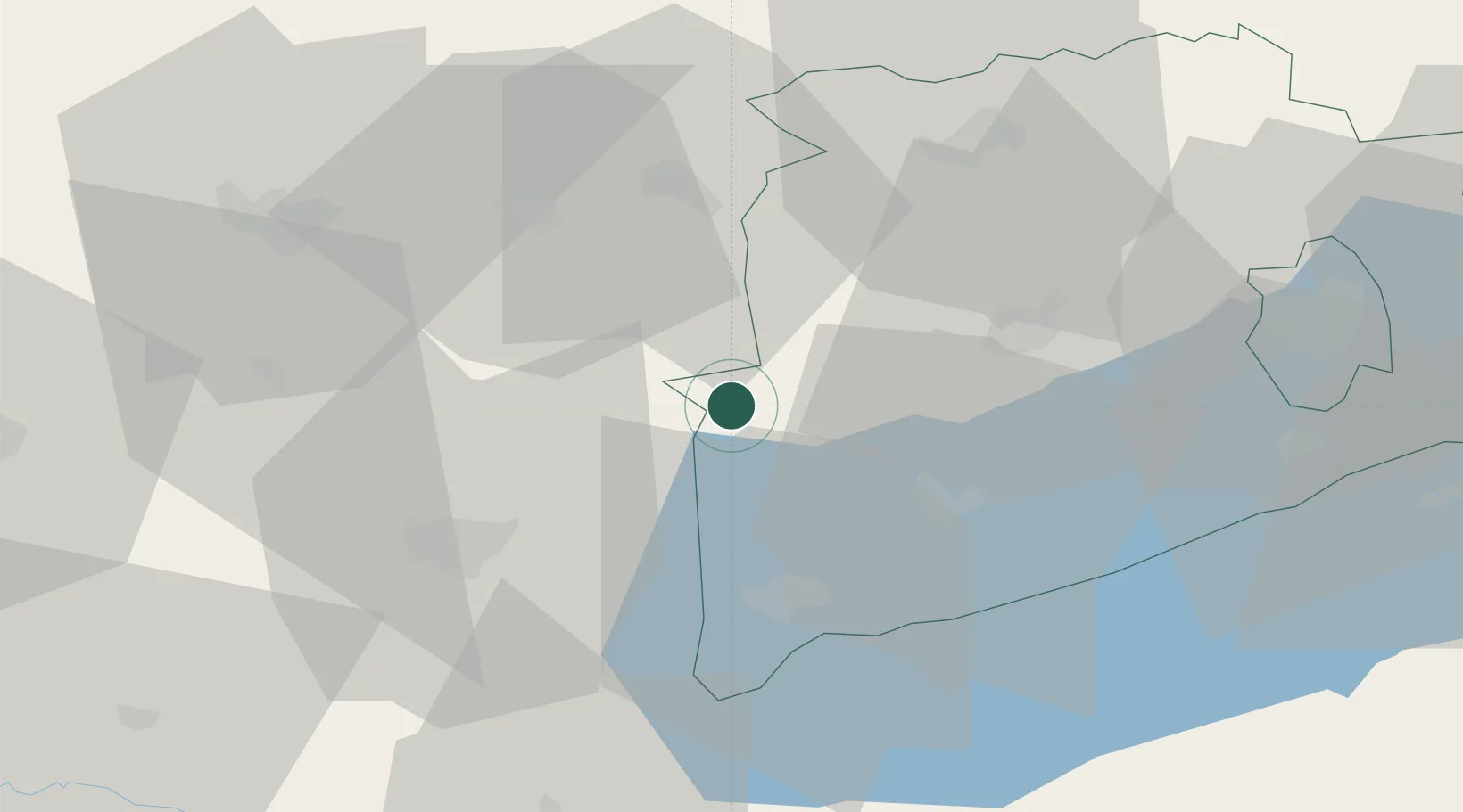
Location
Nearby Logistics Neighbours
Cities
- 1Jánosháza11 km
- 2Tapolca24 km
- 3Celldömölk26 km
- 4Keszthely28 km
- 5Csesztreg29 km
Ports
- 1Bakar279 km
- 2Rijeka Luka283 km
- 3Omisalj285 km
- 4Senj287 km
- 5Trieste304 km
Airports
- 1Hévíz–Balaton Airport37 km
- 2Győr-Pér Airport83 km
- 3Taszár Air Base89 km
- 4Wiener Neustadt East Airport115 km
- 5Wiener Neustadt West Airport116 km
Trade Zones
- 1Sjever Free Zone103 km
- 2Krapina-Zagorje Free Zone139 km
- 3Göd Special Economic Zone167 km
- 4PJ Free Zone Zagreb168 km
- 5Apatin Free Zone202 km
DatabookThe Record of Consolidated Knowledge
Hungary beyond logistics?