Transport Functions
Rail
Road
Hub Profile
Place type
Provincial seat
Region
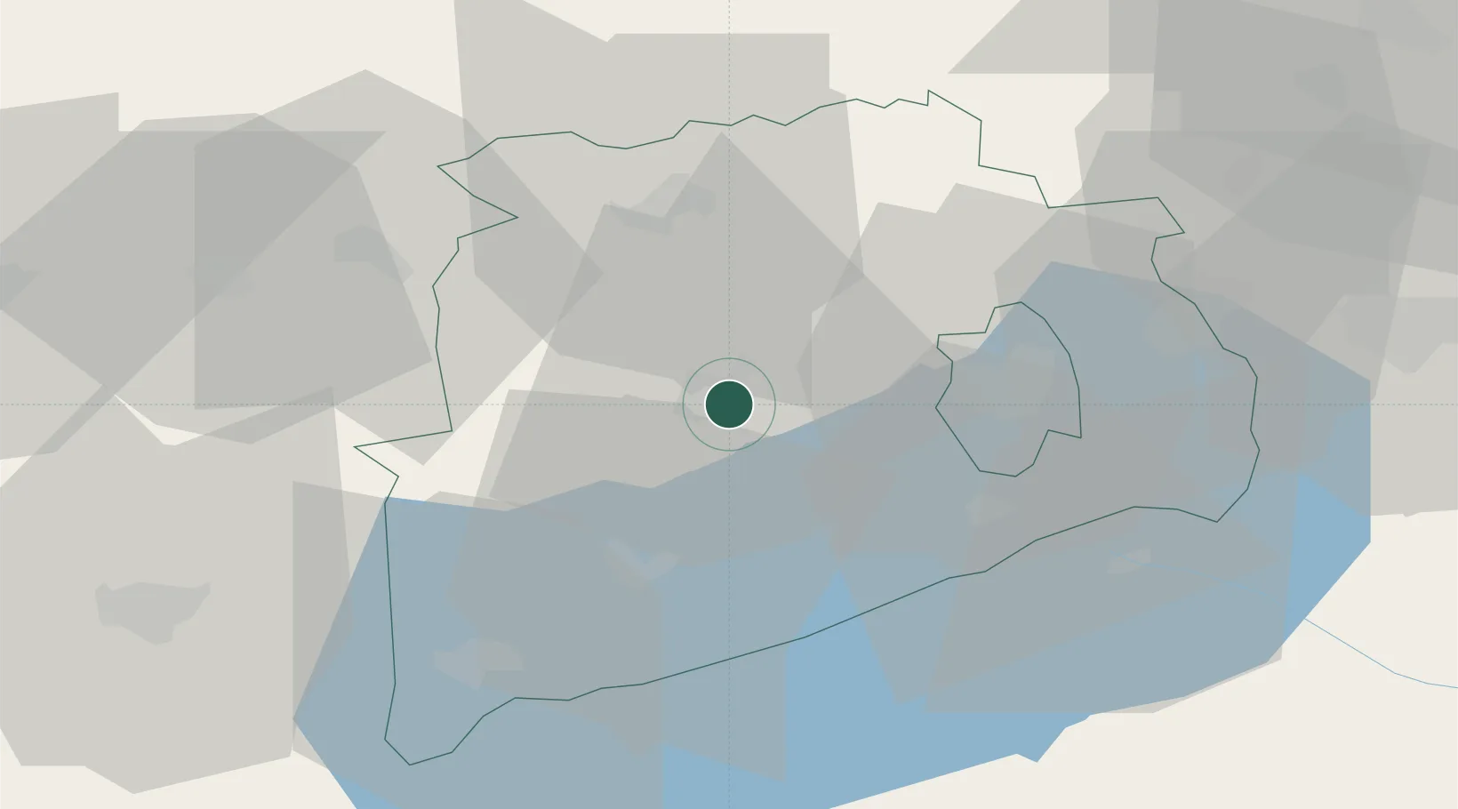
Veszprém
Population
31,407
Time zone
Europe/Budapest
Elevation
225 m
Location
Nearby Logistics Neighbours
Cities
- 1Veszprém25 km
- 2Tapolca26 km
- 3Kekkut28 km
- 4Zirc28 km
- 5Mihályháza28 km
Ports
- 1Bakar308 km
- 2Rijeka Luka311 km
- 3Senj313 km
- 4Omisalj313 km
- 5Trieste334 km
Airports
- 1Hévíz–Balaton Airport55 km
- 2Győr-Pér Airport61 km
- 3Taszár Air Base83 km
- 4Tököl Airport110 km
- 5Kalocsa-Foktő Airfield121 km
Trade Zones
- 1Sjever Free Zone130 km
- 2Göd Special Economic Zone137 km
- 3Krapina-Zagorje Free Zone167 km
- 4Apatin Free Zone191 km
- 5PJ Free Zone Zagreb194 km
DatabookThe Record of Consolidated Knowledge
Hungary beyond logistics?