Transport Functions
Rail
Road
Multimodal
Hub Profile
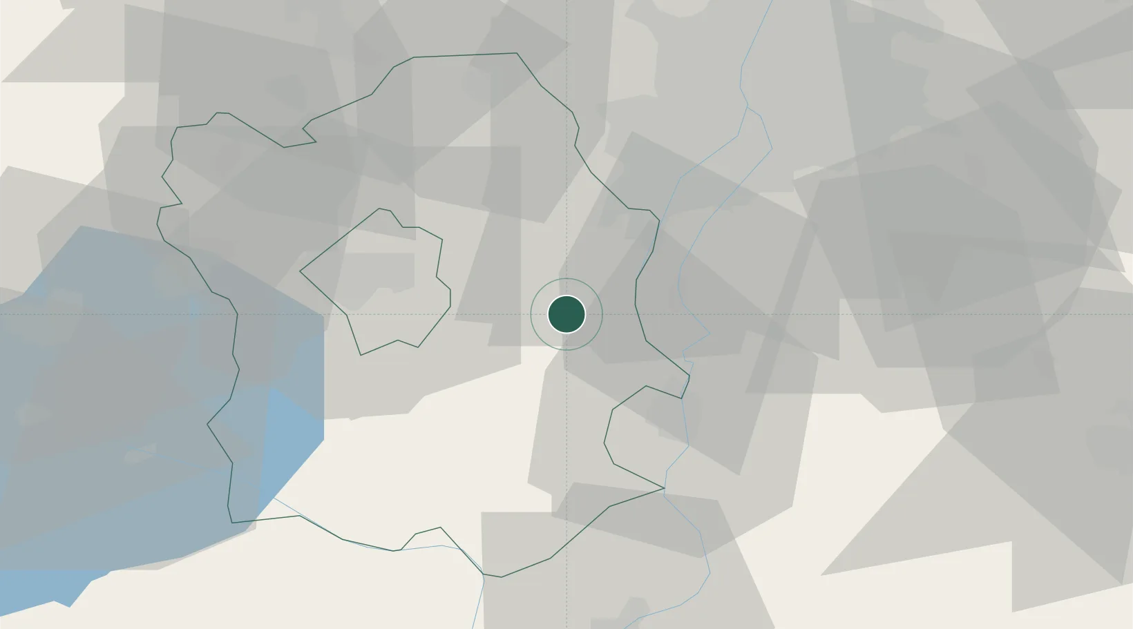
Place type
Populated place
Region
Fejér
Population
6,355
Time zone
Europe/Budapest
Elevation
111 m
Location
Nearby Logistics Neighbours
Cities
- 1Szabadegyháza8 km
- 2Adony8 km
- 3Kulcs15 km
- 4Velence16 km
- 5Sukoró17 km
Ports
- 1Senj382 km
- 2Bakar384 km
- 3Omisalj388 km
- 4Rijeka Luka389 km
- 5Zaliv Rasa430 km
Airports
- 1Tököl Airport29 km
- 2Budapest Liszt Ferenc International Airport50 km
- 3Kalocsa-Foktő Airfield66 km
- 4Kecskemét Air Base78 km
- 5Győr-Pér Airport91 km
Trade Zones
- 1Göd Special Economic Zone68 km
- 2Subotica Free Zone135 km
- 3Apatin Free Zone162 km
- 4Podunavska Gospodarska Zona Vukovar200 km
- 5Osijek Free Zone203 km
DatabookThe Record of Consolidated Knowledge
Hungary beyond logistics?