Transport Functions
Multimodal
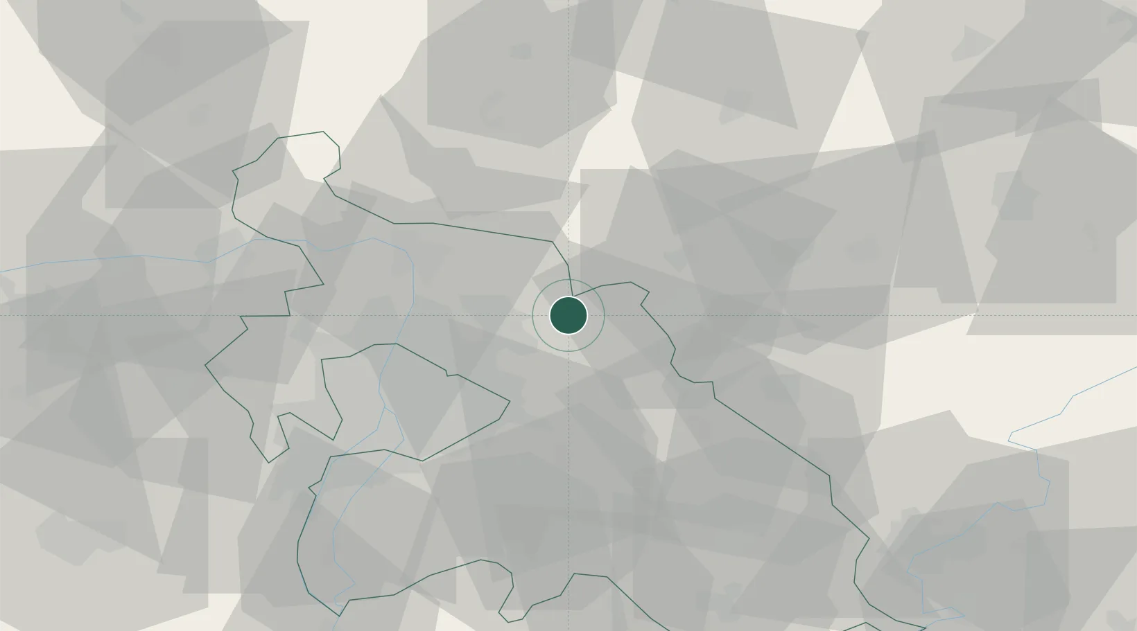
Hub Profile
Place type
Populated place
Region
Pest County
Population
2,194
Time zone
Europe/Budapest
Elevation
140 m
Location
Nearby Logistics Neighbours
Cities
- 1Veresegyház13 km
- 2Orbottyán14 km
- 3Mogyoród17 km
- 4Fót20 km
- 5Kerepes20 km
Ports
- 1Bakar459 km
- 2Senj459 km
- 3Rijeka Luka463 km
- 4Omisalj464 km
- 5Zaliv Rasa505 km
Airports
- 1Budapest Liszt Ferenc International Airport30 km
- 2Tököl Airport50 km
- 3Szolnok Air Base85 km
- 4Kecskemét Air Base86 km
- 5Sliač Airport111 km
Trade Zones
- 1Göd Special Economic Zone21 km
- 2Subotica Free Zone177 km
- 3Free Zone Curtici Arad202 km
- 4Veselí nad Moravou Industrial Zone210 km
- 5VGP Park Arad214 km
DatabookThe Record of Consolidated Knowledge
Hungary beyond logistics?