Transport Functions
Multimodal
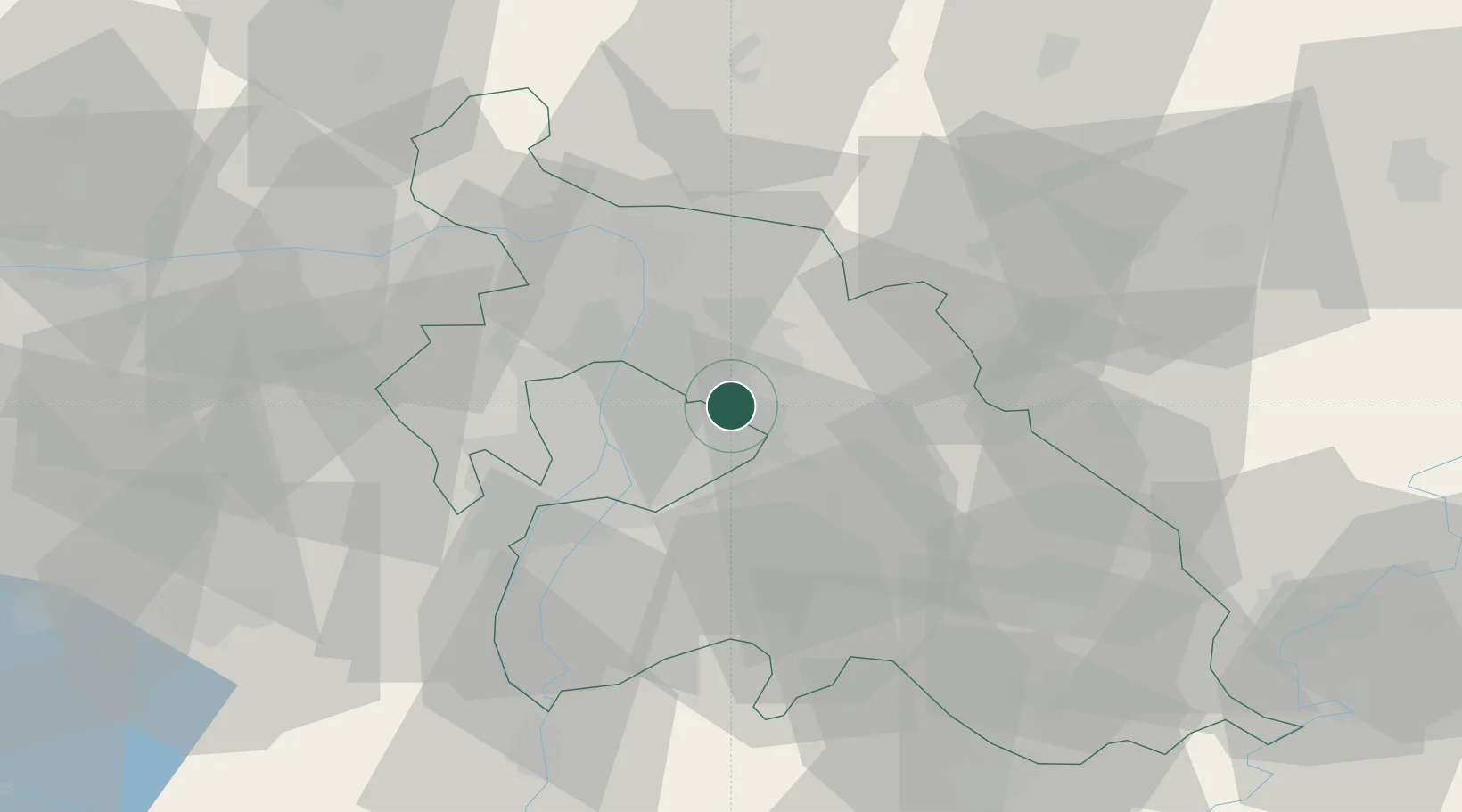
Hub Profile
Place type
Populated place
Region
Pest County
Population
9,960
Time zone
Europe/Budapest
Elevation
215 m
Location
Nearby Logistics Neighbours
Cities
- 1Csömör3 km
- 2Mogyoród8 km
- 3Fót11 km
- 4Maglod12 km
- 5Veresegyház13 km
Ports
- 1Senj439 km
- 2Bakar440 km
- 3Rijeka Luka444 km
- 4Omisalj444 km
- 5Zaliv Rasa486 km
Airports
- 1Budapest Liszt Ferenc International Airport12 km
- 2Tököl Airport30 km
- 3Kecskemét Air Base78 km
- 4Szolnok Air Base86 km
- 5Győr-Pér Airport110 km
Trade Zones
- 1Göd Special Economic Zone18 km
- 2Subotica Free Zone164 km
- 3Free Zone Curtici Arad202 km
- 4Apatin Free Zone207 km
- 5Veselí nad Moravou Industrial Zone211 km
DatabookThe Record of Consolidated Knowledge
Hungary beyond logistics?