Transport Functions
Port
Road
Hub Profile
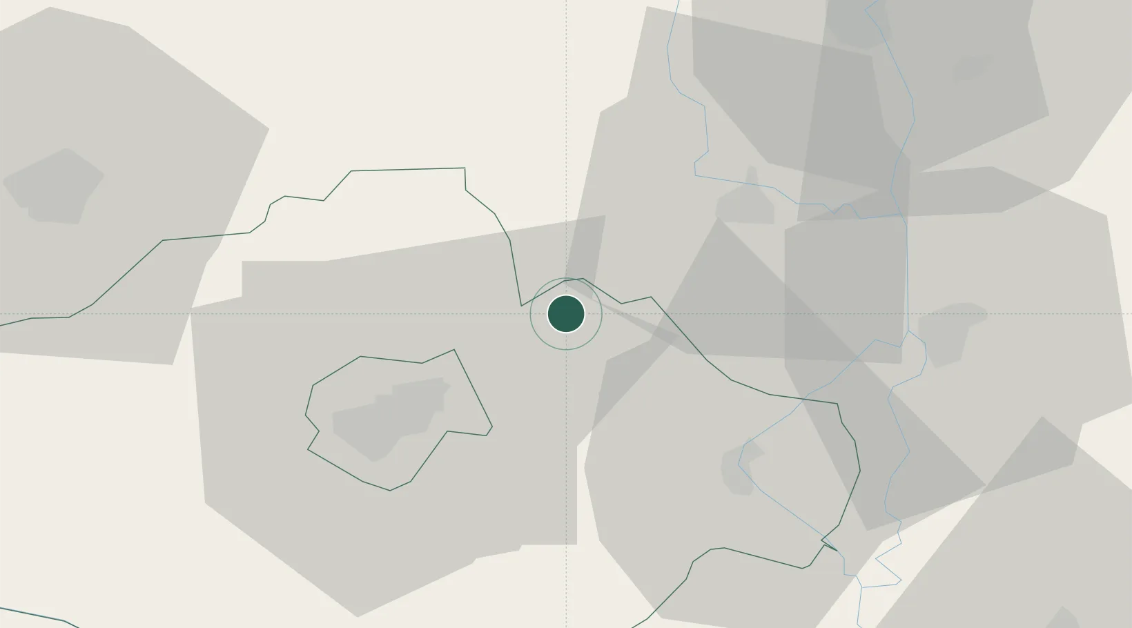
Place type
Populated place
Region
Baranya
Population
1,660
Time zone
Europe/Budapest
Elevation
181 m
Location
Nearby Logistics Neighbours
Cities
- 1Olasz23 km
- 2Szederkeny26 km
- 3Birjan27 km
- 4Mohács29 km
- 5Dombóvár31 km
Ports
- 1Senj310 km
- 2Bakar322 km
- 3Omisalj324 km
- 4Rijeka Luka328 km
- 5Dugi Rat339 km
Airports
- 1Pécs-Pogány International Airport31 km
- 2Taszár Air Base47 km
- 3Kalocsa-Foktő Airfield52 km
- 4Osijek Airport88 km
- 5Hévíz–Balaton Airport113 km
Trade Zones
- 1Apatin Free Zone71 km
- 2Subotica Free Zone92 km
- 3Osijek Free Zone99 km
- 4Podunavska Gospodarska Zona Vukovar106 km
- 5Duro Daković Free Zone122 km
DatabookThe Record of Consolidated Knowledge
Hungary beyond logistics?