Transport Functions
Multimodal
Hub Profile
Place type
Populated place
Region
Komárom-Esztergom
Population
2,265
Time zone
Europe/Budapest
Elevation
129 m
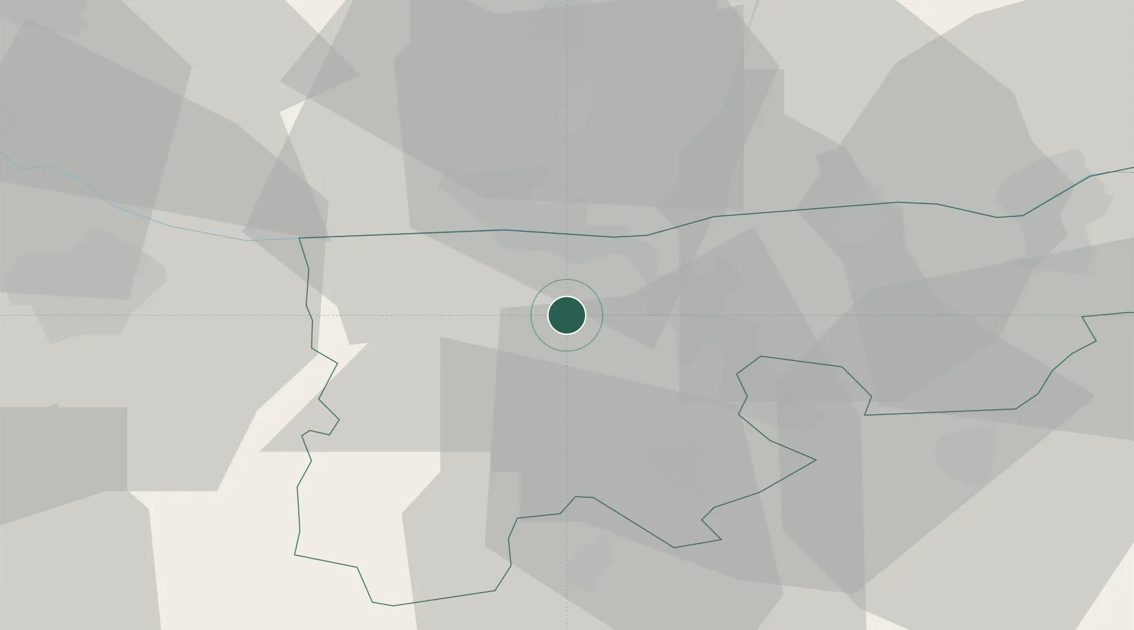
Location
Nearby Logistics Neighbours
Cities
- 1Almásfüzitó7 km
- 2Nagyigmánd8 km
- 3Komárom9 km
- 4Acs13 km
- 5Neszmély14 km
Ports
- 1Bakar384 km
- 2Rijeka Luka387 km
- 3Omisalj389 km
- 4Senj391 km
- 5Zaliv Rasa429 km
Airports
- 1Győr-Pér Airport29 km
- 2Tököl Airport70 km
- 3Budapest Liszt Ferenc International Airport85 km
- 4M. R. Štefánik Airport92 km
- 5Piešťany Airport110 km
Trade Zones
- 1Göd Special Economic Zone74 km
- 2Veselí nad Moravou Industrial Zone155 km
- 3Holešov Industrial Zone191 km
- 4Černovická Terasa Industrial Zone201 km
- 5Sjever Free Zone207 km
DatabookThe Record of Consolidated Knowledge
Hungary beyond logistics?