Transport Functions
Road
Multimodal
Hub Profile
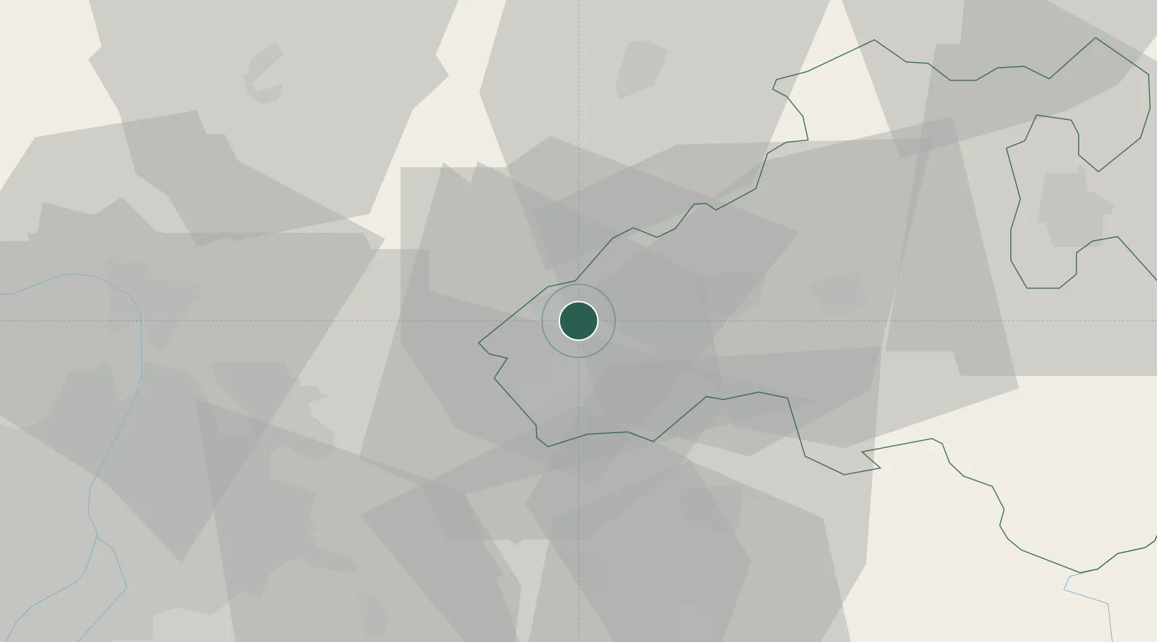
Place type
Populated place
Region
Heves County
Population
3,061
Time zone
Europe/Budapest
Elevation
141 m
Location
Nearby Logistics Neighbours
Cities
- 1Gyöngyös15 km
- 2Jászfényszaru22 km
- 3Iklad23 km
- 4Jászárokszállás24 km
- 5Pusztamonostor25 km
Ports
- 1Senj482 km
- 2Bakar482 km
- 3Rijeka Luka486 km
- 4Omisalj487 km
- 5Zaliv Rasa528 km
Airports
- 1Budapest Liszt Ferenc International Airport51 km
- 2Tököl Airport72 km
- 3Szolnok Air Base82 km
- 4Kecskemét Air Base95 km
- 5Sliač Airport106 km
Trade Zones
- 1Göd Special Economic Zone42 km
- 2Subotica Free Zone188 km
- 3Free Zone Curtici Arad197 km
- 4VGP Park Arad211 km
- 5Veselí nad Moravou Industrial Zone218 km
DatabookThe Record of Consolidated Knowledge
Hungary beyond logistics?