Transport Functions
Multimodal
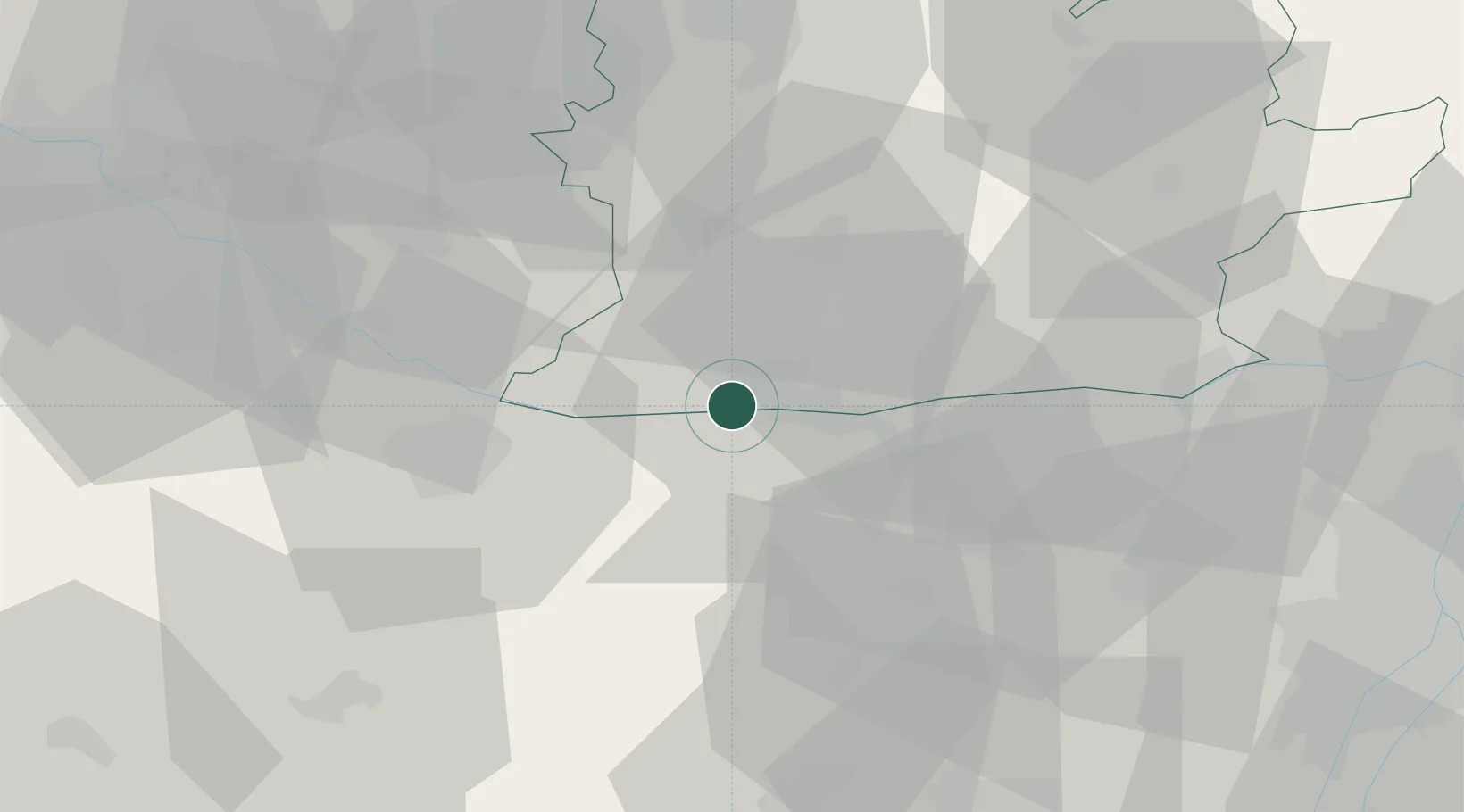
Hub Profile
Place type
Populated place
Region
Nitra Region
Time zone
Europe/Bratislava
Elevation
109 m
Location
Nearby Logistics Neighbours
Cities
- 1Komárom6 km
- 2Acs8 km
- 3Martovce11 km
- 4Mocsa15 km
- 5Nagyigmánd15 km
Ports
- 1Bakar384 km
- 2Rijeka Luka387 km
- 3Omisalj390 km
- 4Senj393 km
- 5Zaliv Rasa430 km
Airports
- 1Győr-Pér Airport24 km
- 2M. R. Štefánik Airport77 km
- 3Tököl Airport84 km
- 4Piešťany Airport97 km
- 5Budapest Liszt Ferenc International Airport98 km
Trade Zones
- 1Göd Special Economic Zone84 km
- 2Veselí nad Moravou Industrial Zone141 km
- 3Holešov Industrial Zone178 km
- 4Černovická Terasa Industrial Zone186 km
- 5Sjever Free Zone209 km
DatabookThe Record of Consolidated Knowledge
Slovakia beyond logistics?